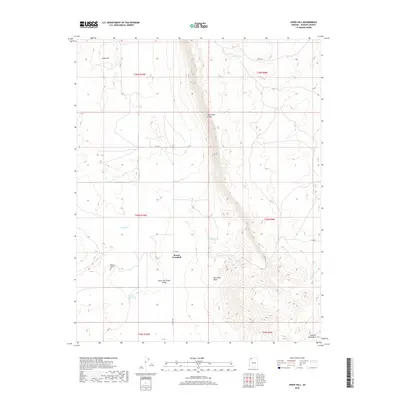
2018 Map of Jones Hill
USGS Topo · Published 2018About this map
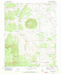
Mount Trumbull sits at a critical junction of high desert geography, where the prominent Hurricane Cliffs divide the landscape and create the distinct drainage of Hurricane Wash. This 2018 survey documents the remote character of Mohave County, where life centers on managed water sources like Browns Reservoir, Bundy Tank, and Tony Pond. The map provides essential detail for genealogists and local historians, specifically locating the Mount Trumbull Cem west of the primary settlement. The terrain transitions from the low-lying Upper Hurricane Valley to the elevations of the Sawmill Mountains and Jones Hill, all interconnected by the path of Co RD 5. This modern cartographic record preserves the established names of a region defined by its ranching history and topographic barriers.
Find a feature on this map
21 named features on this map. Tap any name to fly to it.
Don’t see what you’re looking for? This feature index may not catch every label — zoom into the map to look around manually.
Map Details
Editions of this 2018 Jones Hill Map
This is the sole edition of this map. No revisions or reprints were ever made.
Other maps of this area

1886 · Mt. Trumbull
USGS Topo · 1:250,000

1892 · Mt. Trumbull
USGS Topo · 1:250,000

1953 · Grand Canyon
USGS Topo · 1:250,000

1957 · Grand Canyon
USGS Topo · 1:250,000

1958 · Grand Canyon
USGS Topo · 1:250,000

1960 · Grand Canyon
USGS Topo · 1:250,000
1967 · Mt. Trumbull NW
USGS Topo · 1:24,000
1967 · Mount Logan
USGS Topo · 1:24,000
1971 · Moriah Knoll
USGS Topo · 1:24,000
1971 · Poverty Knoll
USGS Topo · 1:24,000