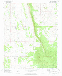
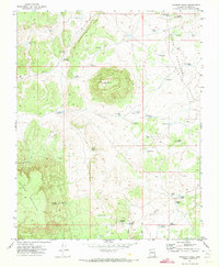
1971 Map of Jones Hill
USGS Topo · Published 1974About this map
The Hurricane Cliffs dominate this portion of the Arizona Strip, creating a massive natural barrier between the elevated desert plateaus and the low-lying Hurricane Valley. In the early 1970s, this remote landscape was defined by its water management and sparse ranching infrastructure, centered around the settlement of Mt Trumbull. The map reveals a network of catchments vital for livestock and survival in the arid environment, including Browns Reservoir, Field Pond, and Tony Pond.
Find a feature on this map
15 named features on this map. Tap any name to fly to it.
Don’t see what you’re looking for? This feature index may not catch every label — zoom into the map to look around manually.
Map Details
Editions of this 1971 Jones Hill Map
This is the sole edition of this map. No revisions or reprints were ever made.
Other maps of this area

1886 · Mt. Trumbull
USGS Topo · 1:250,000

1892 · Mt. Trumbull
USGS Topo · 1:250,000

1953 · Grand Canyon
USGS Topo · 1:250,000

1957 · Grand Canyon
USGS Topo · 1:250,000

1958 · Grand Canyon
USGS Topo · 1:250,000

1960 · Grand Canyon
USGS Topo · 1:250,000
1967 · Mt. Trumbull NW
USGS Topo · 1:24,000
1967 · Mount Logan
USGS Topo · 1:24,000
1971 · Moriah Knoll
USGS Topo · 1:24,000
1971 · Poverty Knoll
USGS Topo · 1:24,000