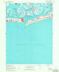
1967 Map of Jones Inlet
USGS Topo · Published 1968About this map
Jones Beach State Park dominates the barrier island landscape of this 1967 survey, revealing a sophisticated network of mid-century coastal recreation and infrastructure. The map details the intricate waterways of Middle Bay and Reynolds Channel, where marshy islands like Parsonage Island and Meadow Island are threaded by numerous leads and creeks. On the mainland fringe, settlements at Lido Beach and Point Lookout mark the developed edges of the Town of Hempstead.
Find a feature on this map
66 named features on this map. Tap any name to fly to it.
Don’t see what you’re looking for? This feature index may not catch every label — zoom into the map to look around manually.
Map Details
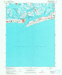
Editions of this 1967 Jones Inlet Map
2 editions found
Other maps of this area

1897 · Hempstead
USGS Topo · 1:62,500

1898 · Hempstead
USGS Topo · 1:62,500

1899 · Hempstead
USGS Topo · 1:62,500

1901 · Babylon
USGS Topo · 1:62,500

1903 · Babylon
USGS Topo · 1:62,500

1903 · Hempstead
USGS Topo · 1:62,500

1904 · Islip
USGS Topo · 1:125,000
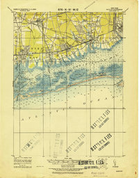
1919 · Babylon
USGS Topo · 1:62,500

1942 · Islip
USGS Topo · 1:125,000
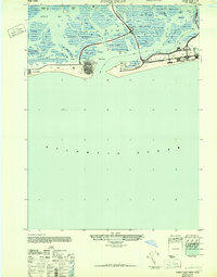
1947 · Jones Inlet
USGS Topo · 1:24,000