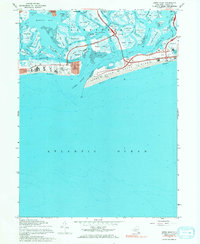
1967 Map of Jones Inlet
USGS Topo · Published 1984About this map
Jones Beach State Park dominates this coastal landscape, showing the complex network of parkways and barrier island developments as they appeared in the late 1960s. The intricate salt marshes and tidal channels of Hempstead Bay and Middle Bay are meticulously mapped, including numerous named features like Meadow Island and Pine Marsh. The layout of established communities such as Point Lookout and Lido Beach is visible alongside the expansive recreational infrastructure of the era, from the Marine Theater to various parking fields and bathhouses. Cultural and maritime landmarks are present across the inlet, including the U S Coast Guard Station and the U S Mil Res. The map documents the heavy engineering of the South Shore, where the Meadowbrook State Parkway and Wantagh State Parkway converge to serve the growing post-war leisure traffic of Long Island.
Find a feature on this map
81 named features on this map. Tap any name to fly to it.
Don’t see what you’re looking for? This feature index may not catch every label — zoom into the map to look around manually.
Map Details
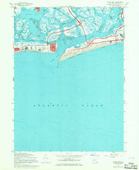
Editions of this 1967 Jones Inlet Map
2 editions found
Other maps of this area

1897 · Hempstead
USGS Topo · 1:62,500

1898 · Hempstead
USGS Topo · 1:62,500

1899 · Hempstead
USGS Topo · 1:62,500

1901 · Babylon
USGS Topo · 1:62,500

1903 · Babylon
USGS Topo · 1:62,500

1903 · Hempstead
USGS Topo · 1:62,500

1904 · Islip
USGS Topo · 1:125,000
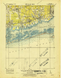
1919 · Babylon
USGS Topo · 1:62,500

1942 · Islip
USGS Topo · 1:125,000
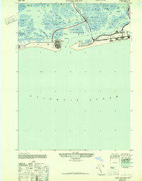
1947 · Jones Inlet
USGS Topo · 1:24,000