2024 Map of Jonesboro
USGS Topo · Published 2024About this map
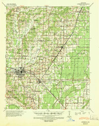
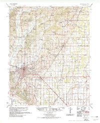
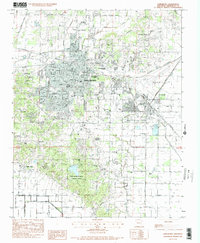
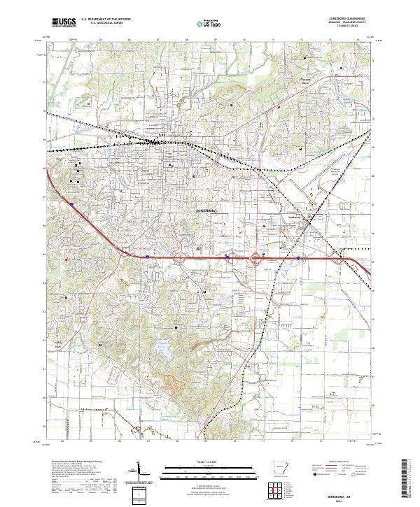
Crowleys Ridge defines the northern topography of this region, providing an elevated landscape that contrasts with the surrounding lowlands. As the seat of the Craighead County Courthouse - Western District, Jonesboro serves as the primary urban center, anchored by the Arkansas State University - Main Campus. The map reveals a dense network of residential streets and arterial roads like Greensboro Rd and Dan Ave that bridge the historic downtown with outlying areas like Nettleton and Valley View.
Find a feature on this map
198 named features on this map. Tap any name to fly to it.
Don’t see what you’re looking for? This feature index may not catch every label — zoom into the map to look around manually.
Map Details
Editions of this 2024 Jonesboro Map
This is the sole edition of this map. No revisions or reprints were ever made.
Historical Maps of Fallis Through Time
5 maps found