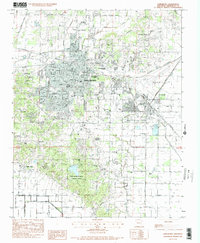
1983 Map of Jonesboro
USGS Topo · Published 1984About this map
Arkansas State University anchors the northern reaches of this mid-1980s landscape, illustrating the educational expansion of the region. The city of Jonesboro serves as a major transportation junction where the St Louis Southwestern, Burlington Northern, and Missouri Pacific railroads converge. This rail density, alongside the Jonesboro Municipal Airport, highlights the area's importance as a regional hub for commerce and logistics.
Find a feature on this map
66 named features on this map. Tap any name to fly to it.
Don’t see what you’re looking for? This feature index may not catch every label — zoom into the map to look around manually.
Map Details
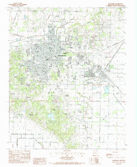
Editions of this 1983 Jonesboro Map
2 editions found
Other maps of this area

1935 · Sedgwick
USGS Topo · 1:62,500

1939 · Weiner
USGS Topo · 1:62,500

1939 · Jonesboro
USGS Topo · 1:62,500

1940 · Dee
USGS Topo · 1:62,500

1953 · Memphis
USGS Topo · 1:250,000

1956 · Memphis
USGS Topo · 1:250,000

1958 · Dee
USGS Topo · 1:62,500

1958 · Jonesboro
USGS Topo · 1:62,500

1959 · Weiner
USGS Topo · 1:62,500

1959 · Sedgwick
USGS Topo · 1:62,500