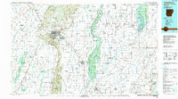
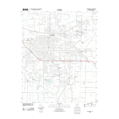
1986 Map of Jonesboro
USGS Topo · Published 1990About this map
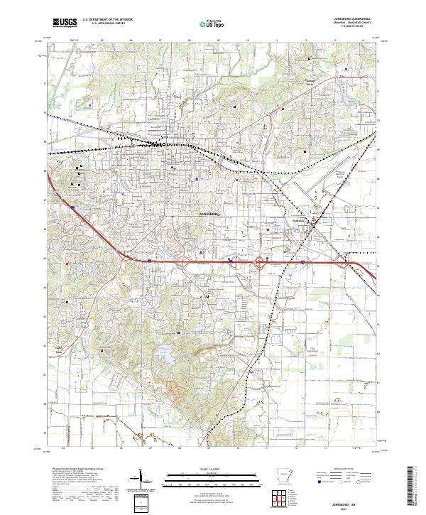
Crowleys Ridge rises distinctly above the surrounding Mississippi Alluvial Plain, serving as the geological spine for this 1980s landscape. This prominent elevation dictates the layout of major settlements like Jonesboro and Harrisburg, while the low-lying terrain to the east and west is defined by an intricate network of drainage and flood control. The St Francis Floodway and St Francis River dominate the eastern lowlands, flanked by the St Francis Sunken Lands State Wildlife Management Area, illustrating the region's managed aquatic ecosystem.
Find a feature on this map
46 named features on this map. Tap any name to fly to it.
Don’t see what you’re looking for? This feature index may not catch every label — zoom into the map to look around manually.
Map Details
Editions of this 1986 Jonesboro Map
2 editions found

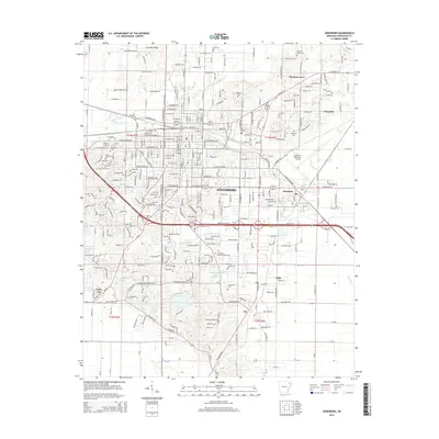
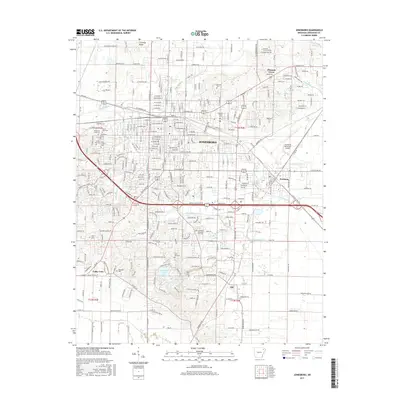
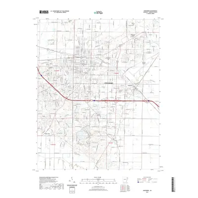
Historical Maps of Jonesboro Through Time
9 maps found
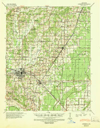
1939 Jonesboro
Craighead County, AR
1958 Jonesboro
Craighead County, AR
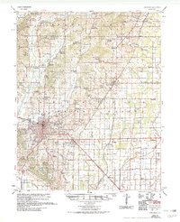
1983 Jonesboro
Craighead County, AR
1986 Jonesboro
Craighead County, AR
2011 Jonesboro
Craighead County, AR
2014 Jonesboro
Craighead County, AR
2017 Jonesboro
Craighead County, AR
2020 Jonesboro
Craighead County, AR
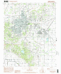
2024 Jonesboro
Craighead County, AR