
Loading...
Loading map...1939 Map of Jonesboro
USGS Topo · Published 1942About this map
Jonesboro and the neighboring community of Nettleton serve as the primary hubs in this late 1930s survey of Northeastern Arkansas. The landscape is characterized by a dense network of rural infrastructure, including Arkansas A & M College and the St Louis Southwestern RR. Beyond the central town, the map documents a transition from the elevated western terrain near Lorado to the low-lying eastern ditch systems such as Butlers Ditch.
Find a feature on this map
117 named features on this map. Tap any name to fly to it.
Don’t see what you’re looking for? This feature index may not catch every label — zoom into the map to look around manually.
Map Details
Date Portrayed1939
Date Published1942
PublisherU.S. Geological Survey
Map TypeTopographic
Scale1:62500
Physical Dimensions16.9 x 21.5 inches
Editions of this 1939 Jonesboro Map
This is the sole edition of this map. No revisions or reprints were ever made.
Historical Maps of Jonesboro Through Time
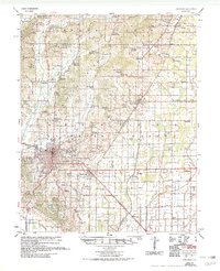
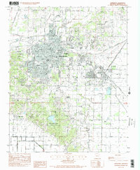
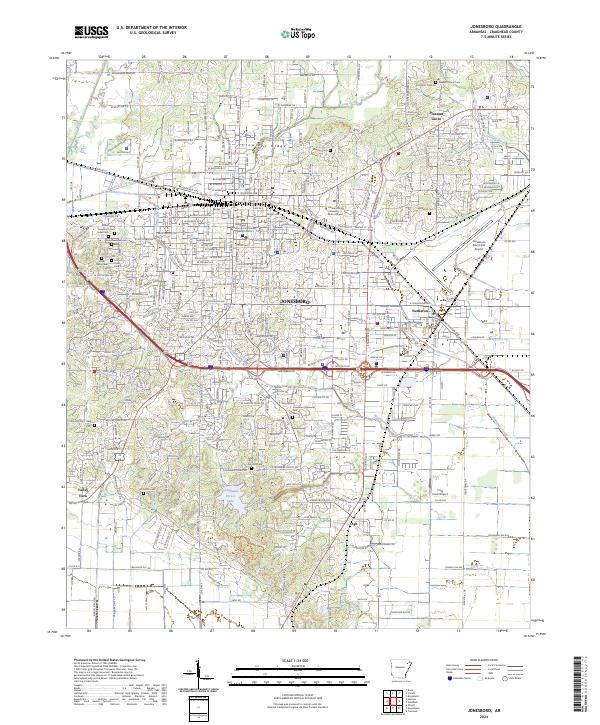
5 maps found
Featured Locations
Source Details
SourceU.S. Geological Survey
CopyrightPublic Domain