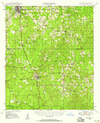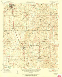
1949 Map of Jonesboro
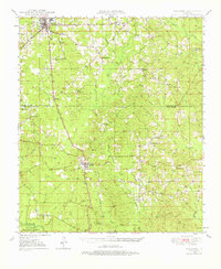
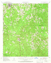
USGS Topo · Published 1966About this map
The Chicago Rock Island and Pacific railroad forms a vital spine through this North Louisiana landscape, connecting the industrial center at Jonesboro to the smaller settlements of Wyatt and Dodson. The area is characterized by a dense network of creeks, such as Cypress Creek and Flat Creek, which feed into the Dugdemona River within the Kisatchie National Forest. This 1949 survey documents a rural society deeply rooted in its local institutions, evidenced by the numerous country churches like Harmony Grove Ch and Spring Hill Ch that serve the outlying communities.
Find a feature on this map
42 named features on this map. Tap any name to fly to it.
Don’t see what you’re looking for? This feature index may not catch every label — zoom into the map to look around manually.
Map Details
Editions of this 1949 Jonesboro Map
3 editions found