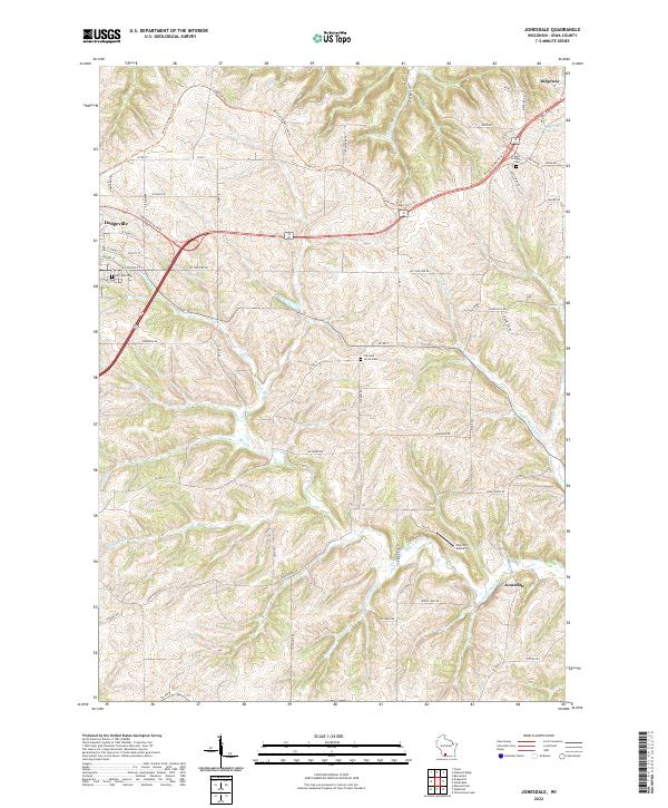
2022 Map of Jonesdale
USGS Topo · Published 2022About this map
Military Ridge State Trl winds through the uplands of Iowa County, tracing the historic corridor between Dodgeville and Ridgeway. This 2022 survey captures a landscape defined by the dendritic drainage of the Driftless Area, where numerous family-named branches like Blotz Br and Gribble Br carve through the terrain toward the Dodge Branch. The settlement pattern remains centered on established rural crossroads and small towns, with Jonesdale situated in the southeast corner near Tuschen Airport.
Find a feature on this map
62 named features on this map. Tap any name to fly to it.
Don’t see what you’re looking for? This feature index may not catch every label — zoom into the map to look around manually.
Map Details
Editions of this 2022 Jonesdale Map
This is the sole edition of this map. No revisions or reprints were ever made.
Historical Maps of Dodgeville Through Time
12 maps found
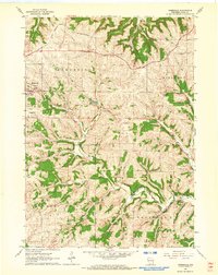
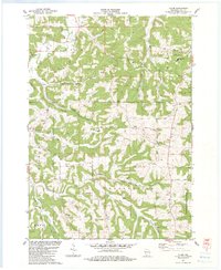
1962 Jonesdale
Iowa County, WI
1962 Waldwick
Iowa County, WI
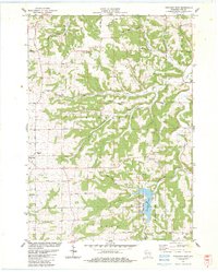
1962 Yellowstone Lake
Iowa County, WI
1983 Clyde
Iowa County, WI
1983 Highland East
Iowa County, WI
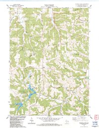
1983 Pleasant Ridge
Iowa County, WI
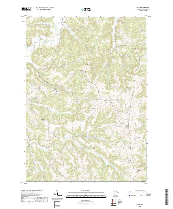
2022 Clyde
Iowa County, WI
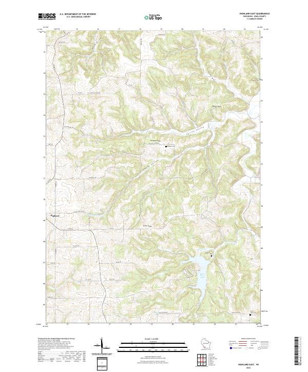
2022 Highland East
Iowa County, WI
2022 Jonesdale
Iowa County, WI
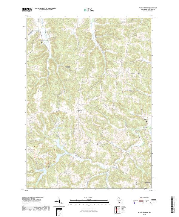
2022 Pleasant Ridge
Iowa County, WI
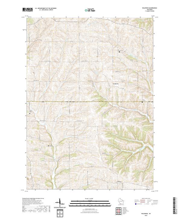
2022 Waldwick
Iowa County, WI
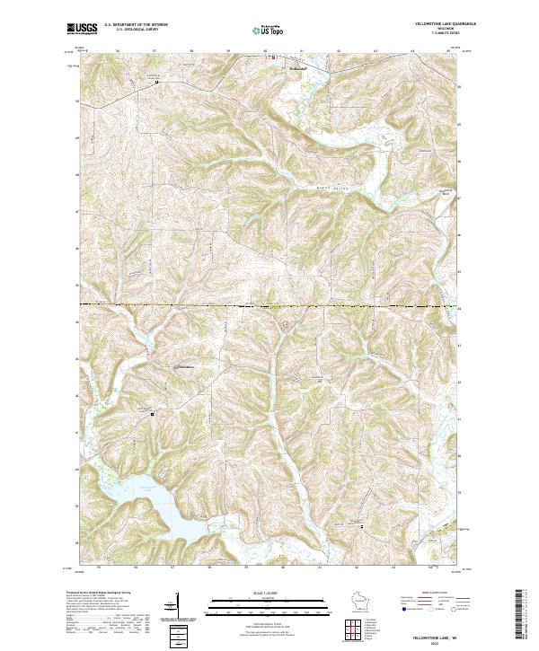
2022 Yellowstone Lake
Iowa County, WI