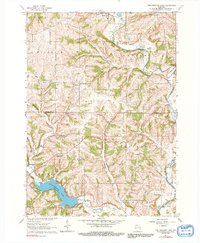
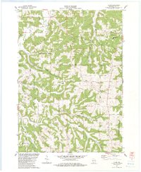
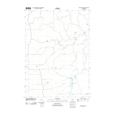
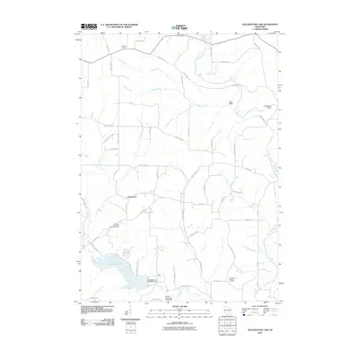
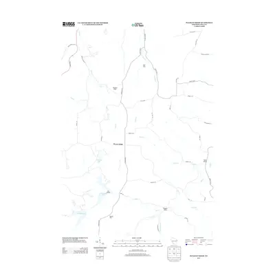
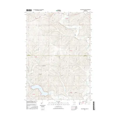
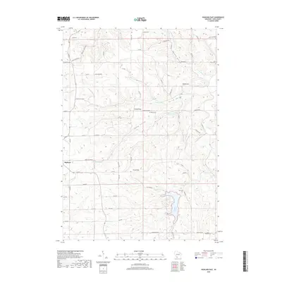
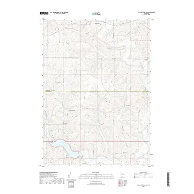
1962 Map of Yellowstone Lake
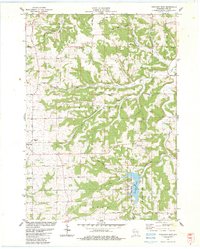
USGS Topo · Published 1992About this map
Yellowstone Lake and its surrounding Yellowstone Conservation Area form the centerpiece of this southern Wisconsin landscape on the border of Iowa and Lafayette counties. The topography is defined by the winding course of the East Branch Pecatonica River and tributaries like Schurch Creek and McClintock Creek. The rural character of the early 1960s is preserved through the placement of numerous country schools, such as Woodlawn Sch and Durkin Sch, which served the farming families of Waldwick and Blanchard.
Find a feature on this map
31 named features on this map. Tap any name to fly to it.
Don’t see what you’re looking for? This feature index may not catch every label — zoom into the map to look around manually.
Map Details
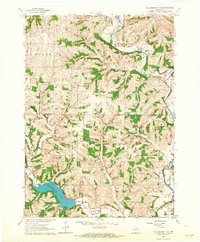
Editions of this 1962 Yellowstone Lake Map
2 editions found
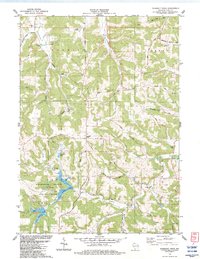
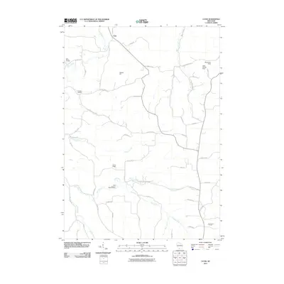
Historical Maps of Waldwick Through Time
36 maps found
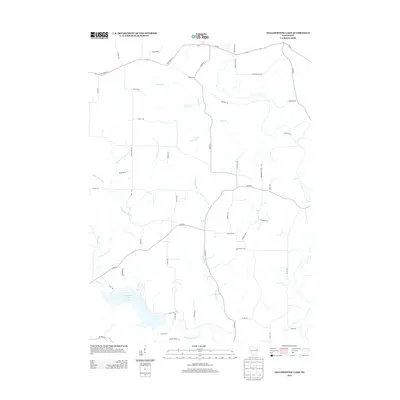
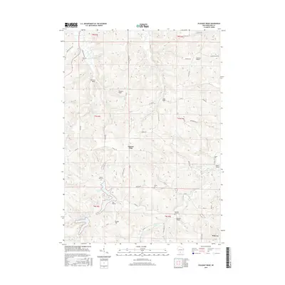
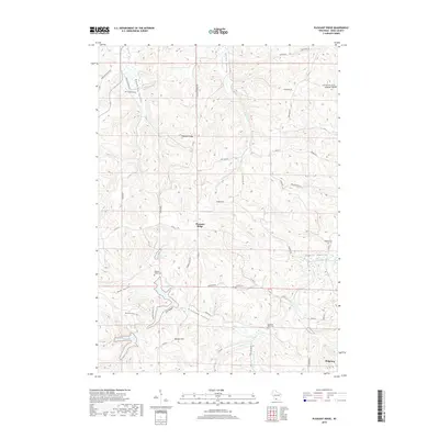
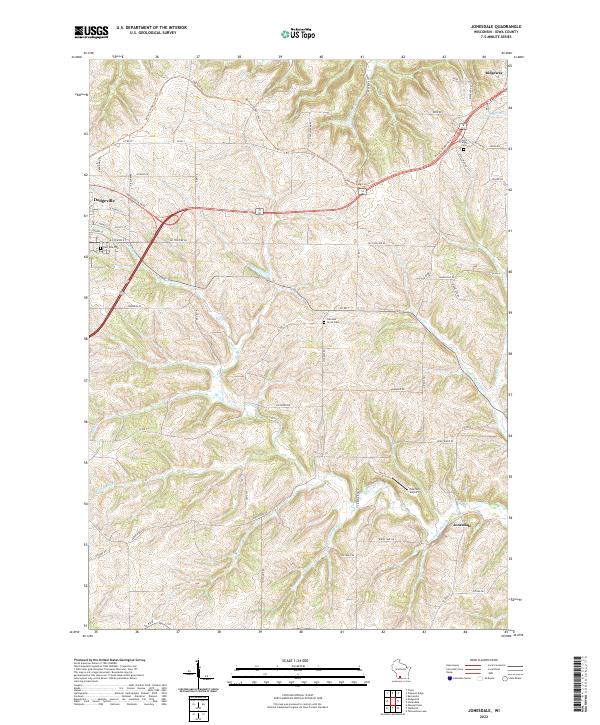
1962 Jonesdale
Iowa County, WI
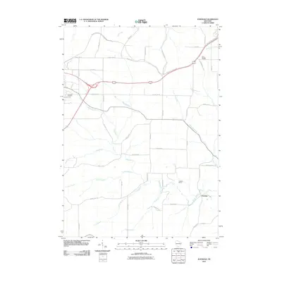
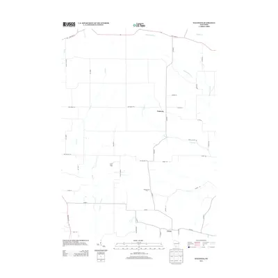
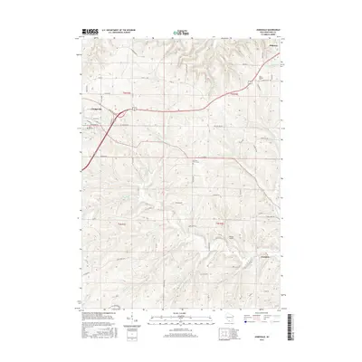
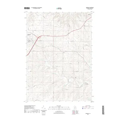
1962 Waldwick
Iowa County, WI
1962 Yellowstone Lake
Iowa County, WI
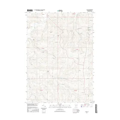
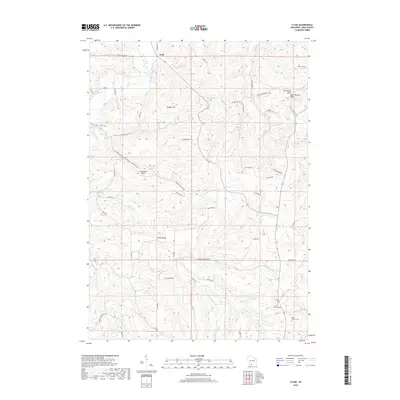
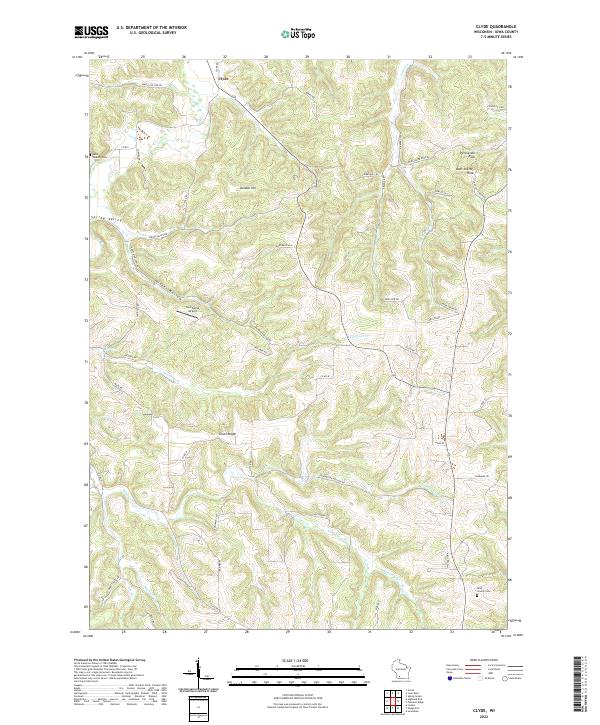
1983 Clyde
Iowa County, WI
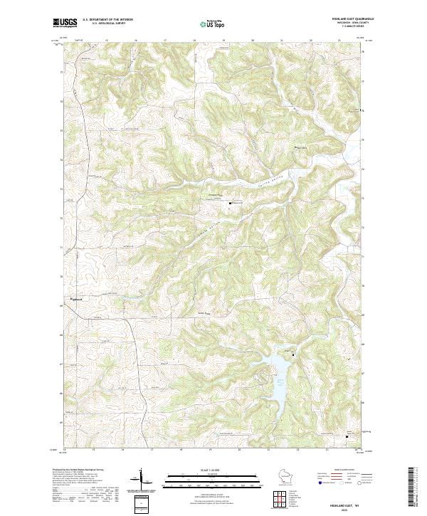
1983 Highland East
Iowa County, WI
1983 Pleasant Ridge
Iowa County, WI
2010 Clyde
Iowa County, WI
2010 Highland East
Iowa County, WI
2010 Jonesdale
Iowa County, WI
2010 Pleasant Ridge
Iowa County, WI
2010 Waldwick
Iowa County, WI
2010 Yellowstone Lake
Iowa County, WI
2013 Clyde
Iowa County, WI
2013 Highland East
Iowa County, WI
2013 Jonesdale
Iowa County, WI
2013 Pleasant Ridge
Iowa County, WI
2013 Waldwick
Iowa County, WI
2013 Yellowstone Lake
Iowa County, WI
2016 Clyde
Iowa County, WI

2016 Highland East
Iowa County, WI
2016 Jonesdale
Iowa County, WI
2016 Pleasant Ridge
Iowa County, WI

2016 Waldwick
Iowa County, WI
2016 Yellowstone Lake
Iowa County, WI
2018 Clyde
Iowa County, WI
2018 Highland East
Iowa County, WI
2018 Jonesdale
Iowa County, WI
2018 Pleasant Ridge
Iowa County, WI
2018 Waldwick
Iowa County, WI
2018 Yellowstone Lake
Iowa County, WI
2022 Clyde
Iowa County, WI
2022 Highland East
Iowa County, WI
2022 Jonesdale
Iowa County, WI
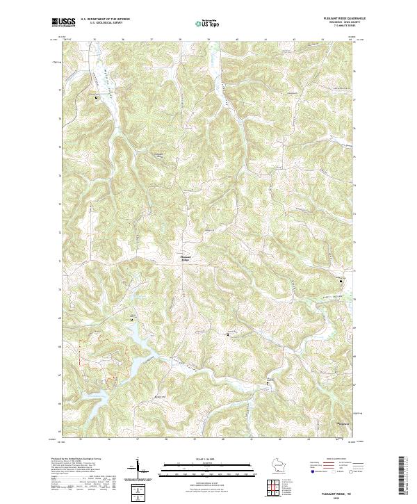
2022 Pleasant Ridge
Iowa County, WI
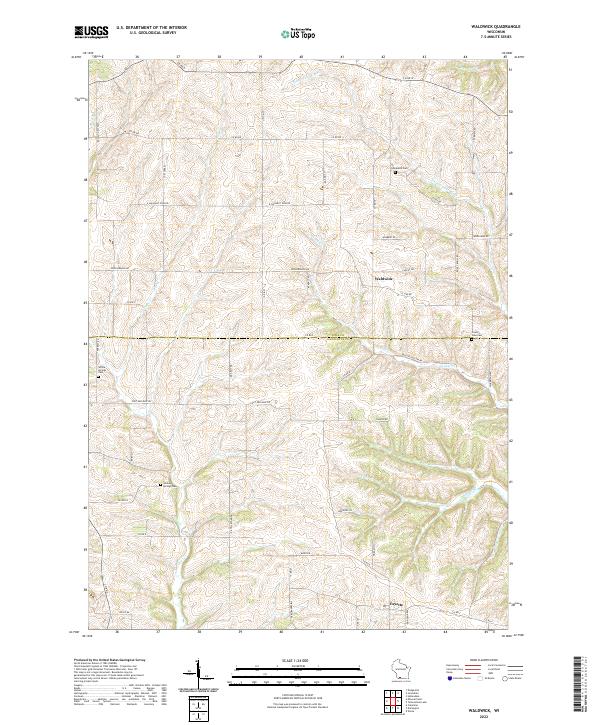
2022 Waldwick
Iowa County, WI
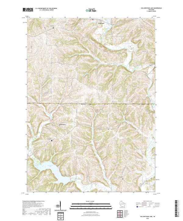
2022 Yellowstone Lake
Iowa County, WI