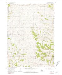
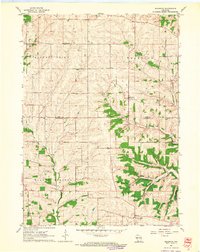
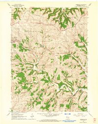
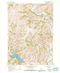
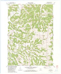
1962 Map of Waldwick
USGS Topo · Published 1981About this map
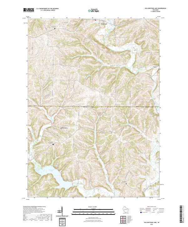
Waldwick and Fayette serve as central points in this early 1960s survey of the Iowa and Lafayette county line. The landscape is defined by the winding course of Otter Creek and the Yellowstone River, with the Yellowstone Conservation Area appearing in the southeastern corner. This map provides a detailed view of a rural Wisconsin community tied to its land, showing numerous Quarries that speak to the local geology and industry. Genealogists will find a wealth of specific landmarks, including the Pleasant View Ch, Broad View Sch, and several family-named burial grounds like the Jackson Cem and Bethel Cem. The transition from the town of Mineral Point into Willow Springs is clearly marked by property lines and township boundaries, capturing the area just before modern agricultural consolidation shifted the local character.
Find a feature on this map
24 named features on this map. Tap any name to fly to it.
Don’t see what you’re looking for? This feature index may not catch every label — zoom into the map to look around manually.
Map Details
Editions of this 1962 Waldwick Map
2 editions found
Historical Maps of Waldwick Through Time
12 maps found
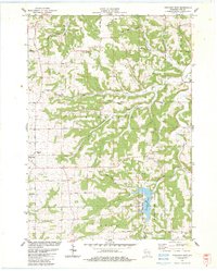
1962 Jonesdale
Iowa County, WI
1962 Waldwick
Iowa County, WI
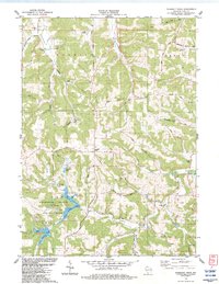
1962 Yellowstone Lake
Iowa County, WI
1983 Clyde
Iowa County, WI
1983 Highland East
Iowa County, WI
1983 Pleasant Ridge
Iowa County, WI
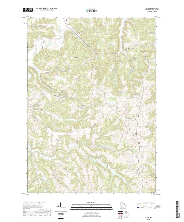
2022 Clyde
Iowa County, WI
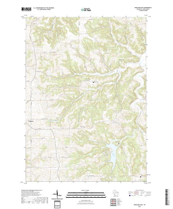
2022 Highland East
Iowa County, WI
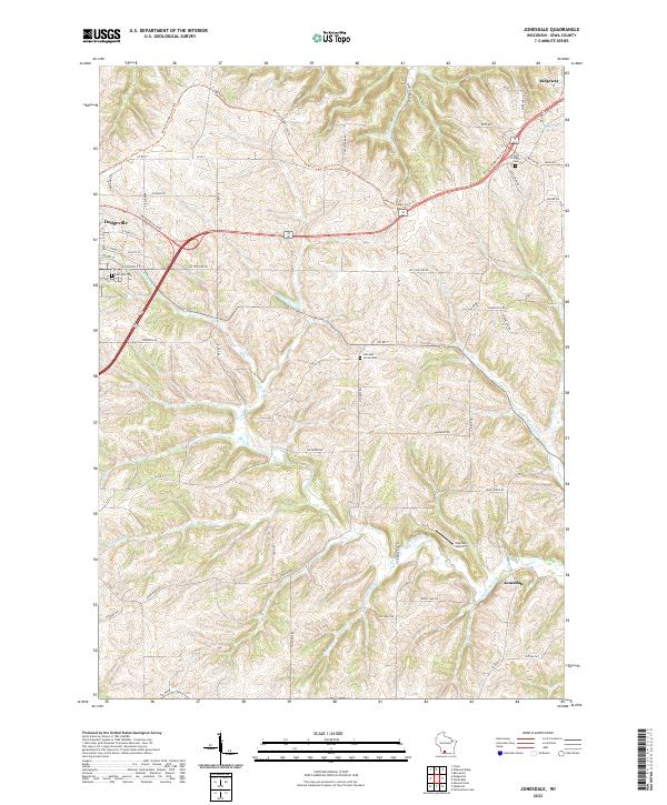
2022 Jonesdale
Iowa County, WI
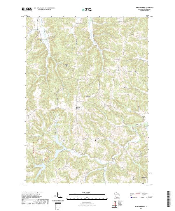
2022 Pleasant Ridge
Iowa County, WI
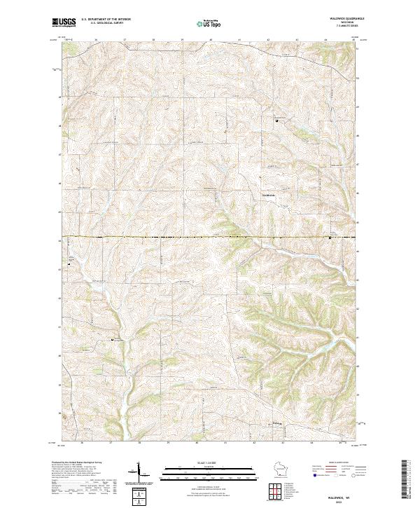
2022 Waldwick
Iowa County, WI
2022 Yellowstone Lake
Iowa County, WI