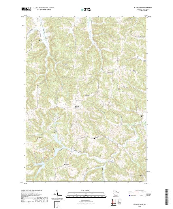
2022 Map of Pleasant Ridge
USGS Topo · Published 2022About this map
Wyoming Valley and Jones Valley anchor the northern reaches of this Wisconsin landscape, where the terrain transitions into the creek-carved lowlands of Pleasant Valley. The map detail focuses on the rural communities of Pleasant Ridge and Ridgeway, illustrating a high density of small family and community burial grounds such as Rockwell Mills Cem and Ruggles Cem. These sites, along with Wyoming Cem and Valley View Cem, provide significant touchpoints for genealogical research in Iowa County.
Find a feature on this map
60 named features on this map. Tap any name to fly to it.
Don’t see what you’re looking for? This feature index may not catch every label — zoom into the map to look around manually.
Map Details
Editions of this 2022 Pleasant Ridge Map
This is the sole edition of this map. No revisions or reprints were ever made.
Other maps of this area

1902 · Mineral Point
USGS Topo · 1:125,000

1905 · Richland Center
USGS Topo · 1:125,000

1920 · Blue Mounds
USGS Topo · 1:62,500

1922 · Blue Mounds
USGS Topo · 1:62,500

1923 · Blanchardville
USGS Topo · 1:62,500

1952 · Dodgeville
USGS Topo · 1:24,000

1954 · Rockford
USGS Topo · 1:250,000

1955 · Rockford
USGS Topo · 1:250,000

1957 · Madison
USGS Topo · 1:250,000

1958 · Rockford
USGS Topo · 1:250,000