2024 Map of Jonesville
USGS Topo · Published 2024About this map
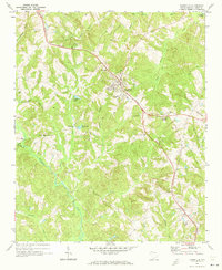
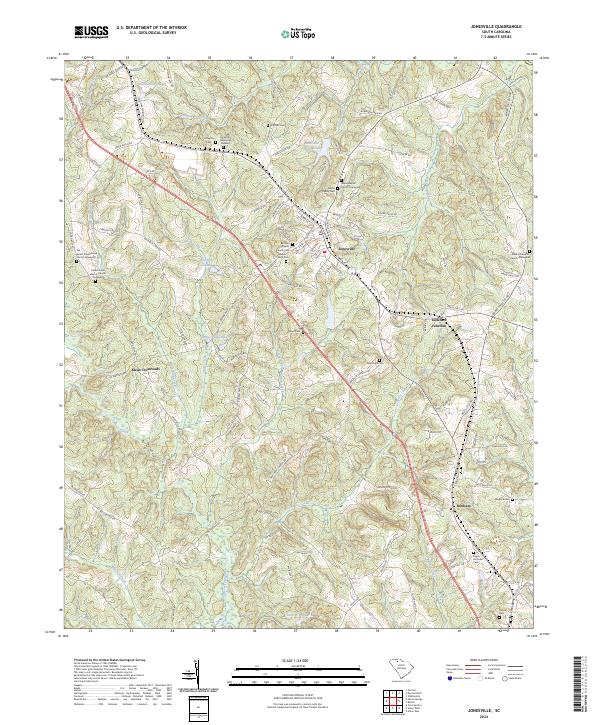
Jonesville serves as the primary hub of this landscape, surrounded by a complex network of small rural settlements and religious sites. The topography is defined by the drainages of Fairforest Creek and Sandy Run Creek, which carve through the terrain south toward Bonham. For genealogists, the map is remarkably detailed, identifying numerous family and congregational burial grounds including the Gardin Family Cem, Littlejohn Cem, and the Weber Haile Cem. These sites, along with established houses of worship like the Fair Forest Presbyterian Church, speak to the deep-rooted community history of the region.
Find a feature on this map
124 named features on this map. Tap any name to fly to it.
Don’t see what you’re looking for? This feature index may not catch every label — zoom into the map to look around manually.
Map Details
Editions of this 2024 Jonesville Map
This is the sole edition of this map. No revisions or reprints were ever made.