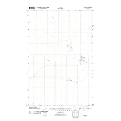
2011 Map of Joplin
USGS Topo · Published 2011About this map
Joplin serves as the primary hub of this north-central Montana agricultural landscape, centered around the Joplin Post Office and the Joplin Fire Dept. The layout of the town is defined by a grid of local streets including Norman Ave and 1st St S, while the Joplin Cemetery sits on the eastern edge of the community. This 2011 survey captures the area’s reliance on water management in a semi-arid environment, evidenced by the Echo Reservoir Dam and Delmar Dam to the south.
Find a feature on this map
19 named features on this map. Tap any name to fly to it.
Don’t see what you’re looking for? This feature index may not catch every label — zoom into the map to look around manually.
Map Details
Editions of this 2011 Joplin Map
This is the sole edition of this map. No revisions or reprints were ever made.
Other maps of this area

1919 · Alma
USGS Topo · 1:125,000

1954 · Shelby
USGS Topo · 1:250,000

1958 · Shelby
USGS Topo · 1:250,000

1963 · Joplin
USGS Topo · 1:24,000

1963 · Chester NW
USGS Topo · 1:24,000

1963 · Chester NE
USGS Topo · 1:24,000

1963 · Chester
USGS Topo · 1:24,000

1970 · Poverty Coulee NE
USGS Topo · 1:24,000

1970 · Rocky Coulee
USGS Topo · 1:24,000

1970 · Poverty Coulee
USGS Topo · 1:24,000