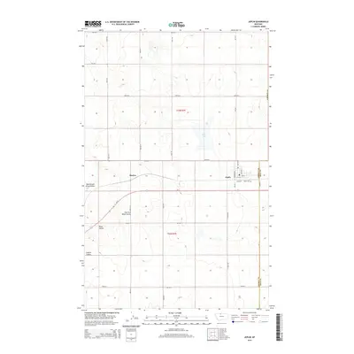
2014 Map of Joplin
USGS Topo · Published 2014About this map
The town of Joplin sits as a central hub on this Hi-Line landscape, defined by its position along the BNSF Railway and Us-2. This modern survey reveals a highly organized agricultural grid, with named section roads like Haul Rd and Bison Rd cutting across the Montana plains. The topography is carved by a network of drainage channels, including the Bison Coulee and East Fork Black Coulee, which disrupt the otherwise steady elevation of the wheat-growing region. Just south of the main township, the Joplin Cem and the settlement of Buelow offer specific points of interest for local genealogy. The presence of Rehal Flat indicates the characteristic low-lying basins found in this part of Liberty County, where water naturally gathers in an otherwise arid environment.
Find a feature on this map
35 named features on this map. Tap any name to fly to it.
Don’t see what you’re looking for? This feature index may not catch every label — zoom into the map to look around manually.
Map Details
Editions of this 2014 Joplin Map
This is the sole edition of this map. No revisions or reprints were ever made.
Other maps of this area

1919 · Alma
USGS Topo · 1:125,000

1954 · Shelby
USGS Topo · 1:250,000

1958 · Shelby
USGS Topo · 1:250,000

1963 · Joplin
USGS Topo · 1:24,000

1963 · Chester NW
USGS Topo · 1:24,000

1963 · Chester NE
USGS Topo · 1:24,000

1963 · Chester
USGS Topo · 1:24,000

1970 · Poverty Coulee NE
USGS Topo · 1:24,000

1970 · Rocky Coulee
USGS Topo · 1:24,000

1970 · Poverty Coulee
USGS Topo · 1:24,000