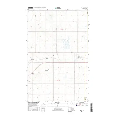
2017 Map of Joplin
USGS Topo · Published 2017About this map
Joplin stands as the primary hub in this portion of the northern plains, situated at the intersection of a grid-like network of country roads. The town's layout is clearly defined by residential streets like Norman Ave and Rehal Ave, with the Joplin Cem located on its southeastern edge. To the west lies Buelow, a small settlement along the rail corridor. The landscape is characterized by the distinct drainages of East Branch Alma Coulee, East Fork Black Coulee, and Bison Coulee, which cut through the high prairie. The vast expanse of Rehal Flat dominates the northern half of the quadrangle, illustrating the flat, open topography typical of this region of Liberty County near the border of Hill County.
Find a feature on this map
33 named features on this map. Tap any name to fly to it.
Don’t see what you’re looking for? This feature index may not catch every label — zoom into the map to look around manually.
Map Details
Editions of this 2017 Joplin Map
This is the sole edition of this map. No revisions or reprints were ever made.
Other maps of this area

1919 · Alma
USGS Topo · 1:125,000

1954 · Shelby
USGS Topo · 1:250,000

1958 · Shelby
USGS Topo · 1:250,000

1963 · Joplin
USGS Topo · 1:24,000

1963 · Chester NW
USGS Topo · 1:24,000

1963 · Chester NE
USGS Topo · 1:24,000

1963 · Chester
USGS Topo · 1:24,000

1970 · Poverty Coulee NE
USGS Topo · 1:24,000

1970 · Rocky Coulee
USGS Topo · 1:24,000

1970 · Poverty Coulee
USGS Topo · 1:24,000