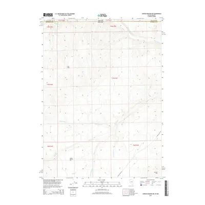
2015 Map of Jordan Meadow NW
USGS Topo · Published 2015About this map
Jordan Meadow Flat sits at the heart of this high-desert landscape along the border of Oregon and Nevada. Published in 2015, the map captures a remote section of Malheur Co, Oregon, and Humboldt County, Nevada, where the drainage systems of Washburn Cr and McDermott Cr shape the terrain. The presence of Jordan Meadow Rd provides the primary transit route through this open range, connecting the southern flats to the more elevated Sentinel Hills and the prominent Long Ridge.
Find a feature on this map
20 named features on this map. Tap any name to fly to it.
Don’t see what you’re looking for? This feature index may not catch every label — zoom into the map to look around manually.
Map Details
Editions of this 2015 Jordan Meadow NW Map
This is the sole edition of this map. No revisions or reprints were ever made.
Other maps of this area

1882 · Paradise
USGS Topo · 1:250,000

1886 · Disaster
USGS Topo · 1:250,000

1893 · Paradise
USGS Topo · 1:250,000

1893 · Disaster
USGS Topo · 1:250,000

1954 · Vya
USGS Topo · 1:250,000

1955 · McDermitt
USGS Topo · 1:250,000

1955 · Jordan Valley
USGS Topo · 1:250,000

1955 · Adel
USGS Topo · 1:250,000

1957 · Adel
USGS Topo · 1:250,000

1957 · Jordan Valley
USGS Topo · 1:250,000