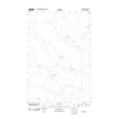
2011 Map of Jordan NE
USGS Topo · Published 2011About this map
Piney Buttes rises above a landscape defined by an intricate network of drainage systems in Garfield County. This 2011 survey illustrates the extensive water management infrastructure of the region, characterized by numerous small-scale reservoirs such as Big Bucks Number 14 Dam, N E Olsen Number 1 Dam, and Jensen Dam. These features, often named after local families or livestock operations, are vital components of the ranching economy in the high plains of Montana. The map traces the winding paths of Wolf Creek, White Horse Creek, and Frazier Creek as they cut through the terrain. The presence of Haxby Rd provides a primary transit link through this sparsely settled territory, connecting remote water points and grazing lands.
Find a feature on this map
15 named features on this map. Tap any name to fly to it.
Don’t see what you’re looking for? This feature index may not catch every label — zoom into the map to look around manually.
Map Details
Editions of this 2011 Jordan NE Map
This is the sole edition of this map. No revisions or reprints were ever made.
Other maps of this area

1954 · Jordan
USGS Topo · 1:250,000

1956 · Jordan
USGS Topo · 1:250,000

1958 · Jordan
USGS Topo · 1:250,000

1958 · Maloney Hill
USGS Topo · 1:62,500

1964 · Jordan
USGS Topo · 1:250,000

1964 · Jordan SE
USGS Topo · 1:24,000

1964 · Jordan NE
USGS Topo · 1:24,000

1964 · Bateman Coulee
USGS Topo · 1:24,000

1964 · Black John Coulee
USGS Topo · 1:24,000

1964 · Jordan NW
USGS Topo · 1:24,000