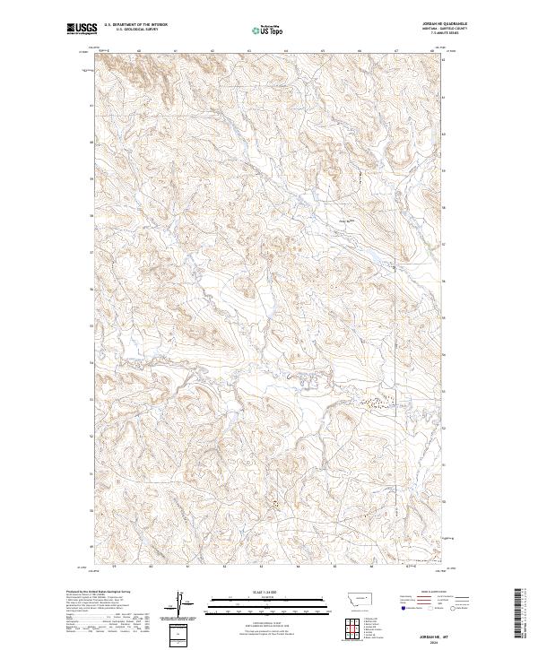
2024 Map of Jordan NE
USGS Topo · Published 2024About this map
Piney Buttes rise above the drainage networks of Garfield County, defining the high ground in this sparsely populated stretch of the northern Missouri Plateau. The landscape is characterized by a dense system of coulees and intermittent streams, where White Horse Creek and Little Wolf Creek carve through the sedimentary layers of the plains. These watercourses, alongside others like Frazier Creek and Oliver Coulee, reveal the complex erosion patterns typical of the region's topography. Human presence is light and primarily represented by Haxby Rd, which skirts the eastern edge of the quadrangle. The map highlights the foundational Public Land Survey System grid, which organizes the vast open spaces into townships and ranges, underscoring the enduring agricultural and ranching framework of the Montana backcountry.
Find a feature on this map
13 named features on this map. Tap any name to fly to it.
Don’t see what you’re looking for? This feature index may not catch every label — zoom into the map to look around manually.
Map Details
Editions of this 2024 Jordan NE Map
This is the sole edition of this map. No revisions or reprints were ever made.
Other maps of this area

1954 · Jordan
USGS Topo · 1:250,000

1956 · Jordan
USGS Topo · 1:250,000

1958 · Jordan
USGS Topo · 1:250,000

1958 · Maloney Hill
USGS Topo · 1:62,500

1964 · Jordan
USGS Topo · 1:250,000

1964 · Jordan SE
USGS Topo · 1:24,000

1964 · Jordan NE
USGS Topo · 1:24,000

1964 · Bateman Coulee
USGS Topo · 1:24,000

1964 · Black John Coulee
USGS Topo · 1:24,000

1964 · Jordan NW
USGS Topo · 1:24,000