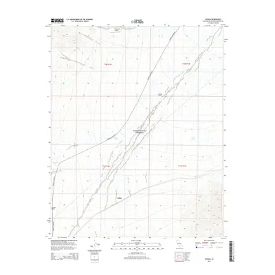
2015 Map of Joshua
USGS Topo · Published 2015About this map
Mojave National Preserve encompasses most of this arid landscape, centered on the settlement of Joshua. The terrain is defined by the broad sweep of the Ivanpah Valley and the vast Mojave Desert, where seasonal water management is critical for survival and navigation. A network of essential water sources is documented across the desert floor, including Sixmile Tank, Tenmile Tank, Threemile Tank, and Cut Tank, alongside the natural Sacaton Spring.
Find a feature on this map
16 named features on this map. Tap any name to fly to it.
Don’t see what you’re looking for? This feature index may not catch every label — zoom into the map to look around manually.
Map Details
Editions of this 2015 Joshua Map
This is the sole edition of this map. No revisions or reprints were ever made.
Other maps of this area

1910 · Ivanpah
USGS Topo · 1:250,000

1912 · Ivanpah
USGS Topo · 1:250,000

1942 · Ivanpah
USGS Topo · 1:250,000

1947 · Kingman
USGS Topo · 1:250,000

1948 · Kingman
USGS Topo · 1:250,000

1954 · Kingman
USGS Topo · 1:250,000

1955 · Kingman
USGS Topo · 1:250,000

1955 · Mescal Range
USGS Topo · 1:62,500

1955 · Mid Hills
USGS Topo · 1:62,500

1955 · Kelso
USGS Topo · 1:62,500