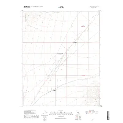
2018 Map of Joshua
USGS Topo · Published 2018About this map
The settlement of Joshua sits at the base of the Ivanpah Mountains in this high-desert region of San Bernardino County. Located within the Mojave National Preserve, the landscape is defined by the dramatic meeting of mountain ranges and alluvial basins. The Ivanpah Valley dominates the western portion of the map, while the New York Mountains rise in the southeast. Water sources are scarce in this part of the Mojave Desert, marked by features such as Sacaton Spring and the drainage of Oro Wash. The terrain reveals a complex network of dry washes and desert tracks typical of the eastern Mojave, where remote outposts like Joshua served as critical points for travelers and local land management in an arid environment.
Find a feature on this map
12 named features on this map. Tap any name to fly to it.
Don’t see what you’re looking for? This feature index may not catch every label — zoom into the map to look around manually.
Map Details
Editions of this 2018 Joshua Map
This is the sole edition of this map. No revisions or reprints were ever made.
Other maps of this area

1910 · Ivanpah
USGS Topo · 1:250,000

1912 · Ivanpah
USGS Topo · 1:250,000

1942 · Ivanpah
USGS Topo · 1:250,000

1947 · Kingman
USGS Topo · 1:250,000

1948 · Kingman
USGS Topo · 1:250,000

1954 · Kingman
USGS Topo · 1:250,000

1955 · Kingman
USGS Topo · 1:250,000

1955 · Mescal Range
USGS Topo · 1:62,500

1955 · Mid Hills
USGS Topo · 1:62,500

1955 · Kelso
USGS Topo · 1:62,500