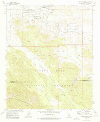
1972 Map of Joshua Tree South
USGS Topo · Published 1976About this map
The Joshua Tree National Monument boundary defines the southern half of this landscape, where the high desert transitions into the Little San Bernardino Mts. Within the monument, broad alluvial basins like Lower Covington Flat and Upper Covington Flat are prominent, while scattered water sources such as Covington Spring and Covington Well appear as dry landmarks, reflecting the arid nature of the terrain in the early 1970s.
Find a feature on this map
26 named features on this map. Tap any name to fly to it.
Don’t see what you’re looking for? This feature index may not catch every label — zoom into the map to look around manually.
Map Details
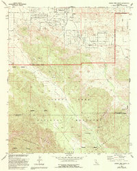
Editions of this 1972 Joshua Tree South Map
2 editions found
Other maps of this area

1941 · Edom
USGS Topo · 1:62,500

1944 · Edom
USGS Topo · 1:62,500

1944 · Pinyon Well
USGS Topo · 1:62,500

1947 · Santa Ana
USGS Topo · 1:250,000

1949 · Santa Ana
USGS Topo · 1:250,000

1953 · San Bernardino
USGS Topo · 1:250,000

1955 · Twentynine Palms
USGS Topo · 1:62,500

1955 · Joshua Tree
USGS Topo · 1:62,500

1956 · San Bernardino
USGS Topo · 1:250,000

1956 · Santa Ana
USGS Topo · 1:250,000