Loading...
Loading map...2024 Map of Joy
USGS Topo · Published 2024About this map
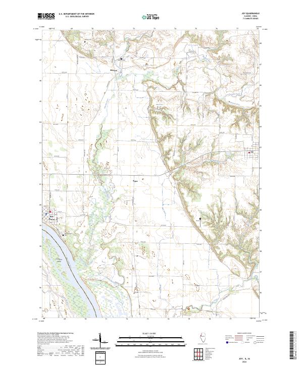
New Boston and the eastern banks of the Mississippi River anchor this landscape, where the river's dynamic hydrology is evidenced by features like Corsepius Island and Ziegler Slough. The Port Louisa National Wildlife Refuge occupies the southwestern bottomlands, crisscrossed by the Keithsburg Levee Trl and Spring Slough Trl. This area represents a complex riparian ecosystem where Pope Creek and the Edwards River converge toward the great river.
Find a feature on this map
69 named features on this map. Tap any name to fly to it.
Don’t see what you’re looking for? This feature index may not catch every label — zoom into the map to look around manually.
Map Details
Date Portrayed2024
Date Published2024
PublisherU.S. Geological Survey
Map TypeTopographic
Scale1:24000
Physical Dimensions24 x 29 inches
Editions of this 2024 Joy Map
This is the sole edition of this map. No revisions or reprints were ever made.
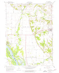
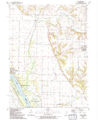
Historical Maps of Mannon Through Time
Featured Locations
Source Details
SourceU.S. Geological Survey
CopyrightPublic Domain