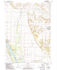
1991 Map of Joy
USGS Topo · Published 1992About this map
The Edwards River meanders across the landscape toward its confluence with the Mississippi River, defining a region of fertile bottomlands and river bluffs. In the early 1990s, this area of Mercer County was characterized by its wildlife conservation lands, including the Mark Twain National Wildlife Refuge and the Mississippi River Islands State Wildlife Management Area, which encompass Corsepius Island and various smaller river features.
Find a feature on this map
32 named features on this map. Tap any name to fly to it.
Don’t see what you’re looking for? This feature index may not catch every label — zoom into the map to look around manually.
Map Details
Editions of this 1991 Joy Map
This is the sole edition of this map. No revisions or reprints were ever made.
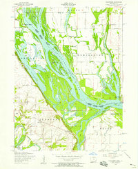
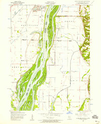
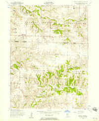
Other maps of this area

1916 · Edgington
USGS Topo · 1:62,500

1935 · Keithsburg
USGS Topo · 1:48,000

1938 · Edgington
USGS Topo · 1:62,500

1941 · Keithsburg
USGS Topo · 1:62,500

1946 · Wapello
USGS Topo · 1:62,500

1948 · Muscatine
USGS Topo · 1:62,500

1949 · Wapello
USGS Topo · 1:62,500
1953 · Toolesboro
USGS Topo · 1:24,000
1953 · Blanchard Island
USGS Topo · 1:24,000
1953 · Buffalo Prairie
USGS Topo · 1:24,000