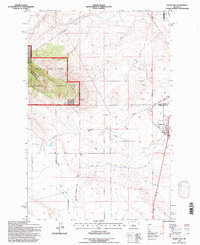
1995 Map of Judith Gap
USGS Topo · Published 1997About this map
The town of Judith Gap sits at a strategic mountain pass where the Ross Fork begins its journey through the Montana landscape. This 1990s revision documents the intersection of high-plains ranching and protected lands, as the Lewis and Clark National Forest boundary reaches across the western slopes of Oka Butte. To the east, the rural community is anchored by the Rodeo Ground and a local Cem, reflecting the cultural and social heart of the area.
Find a feature on this map
25 named features on this map. Tap any name to fly to it.
Don’t see what you’re looking for? This feature index may not catch every label — zoom into the map to look around manually.
Map Details
Editions of this 1995 Judith Gap Map
This is the sole edition of this map. No revisions or reprints were ever made.
Other maps of this area

1889 · Big Snowy Mountain
USGS Topo · 1:250,000

1893 · Big Snowy Mountain
USGS Topo · 1:250,000

1954 · Roundup
USGS Topo · 1:250,000

1958 · Roundup
USGS Topo · 1:250,000
1970 · Buffalo
USGS Topo · 1:24,000
1970 · Martin Coulee
USGS Topo · 1:24,000
1970 · Moore SW
USGS Topo · 1:24,000
1986 · Oka
USGS Topo · 1:24,000
1986 · Mead Creek
USGS Topo · 1:24,000
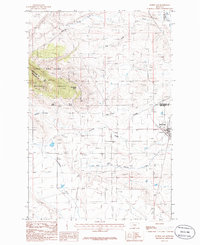
1986 · Judith Gap
USGS Topo · 1:24,000