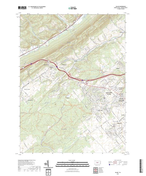
2023 Map of Julian
USGS Topo · Published 2023About this map
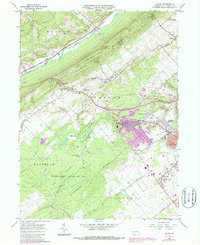
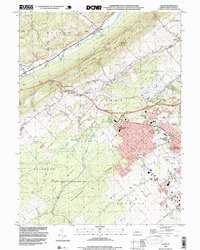
Bald Eagle Creek and Buffalo Run anchor this section of the Nittany Valley northwest of State College. The landscape is defined by the steep slopes of Bald Eagle Mountain and the residential expansion of communities like Park Forest Village and Overlook Heights. Historically significant sites for researchers include the old settlement at Scotia and several family or community burial grounds such as Old Pine Hall Cem and Campbell Cem. The transition from the rural character of Halfmoon Valley and Stormstown to the more developed suburbs is visible along the Twenty-Eighth Division Hwy corridor. Extensive recreational pathways, including the Bellefonte Central Rail Trl and the Barrens Gamelands Trl, weave through the ridges and valleys, tracing old transportation routes and protected lands.
Find a feature on this map
181 named features on this map. Tap any name to fly to it.
Don’t see what you’re looking for? This feature index may not catch every label — zoom into the map to look around manually.
Map Details
Editions of this 2023 Julian Map
This is the sole edition of this map. No revisions or reprints were ever made.
Historical Maps of Pine Hall Through Time
4 maps found