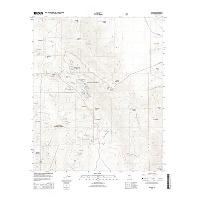
2015 Map of Julian
USGS Topo · Published 2015About this map
Julian stands as the central hub of this mountain landscape, its grid of streets including 2nd St and 4th St surrounded by residential pockets like Whispering Pines and Kentwood-In-The-Pines. The terrain is defined by the high elevations of the Volcan Mountains to the east and the Cuyamaca Mountains to the south, with North Peak and Cosmit Peak overlooking the valley. Deep canyons such as Banner Canyon and Chariot Canyon cut through the granite landscape, guiding the path of Banner Creek toward the settlement of Banner.
Find a feature on this map
86 named features on this map. Tap any name to fly to it.
Don’t see what you’re looking for? This feature index may not catch every label — zoom into the map to look around manually.
Map Details
Editions of this 2015 Julian Map
This is the sole edition of this map. No revisions or reprints were ever made.
Other maps of this area

1903 · Cuyamaca
USGS Topo · 1:125,000

1903 · Ramona
USGS Topo · 1:125,000

1904 · Southern California Sheet No. 2
USGS Topo · 1:250,000

1931 · Vallecito
USGS Topo · 1:125,000

1931 · Carrizo
USGS Topo · 1:125,000

1939 · Santa Ysabel
USGS Topo · 1:62,500

1939 · Borrego
USGS Topo · 1:62,500

1942 · Borego
USGS Topo · 1:62,500

1942 · Cuyapaipe
USGS Topo · 1:62,500

1942 · Cuyamaca Peak
USGS Topo · 1:62,500