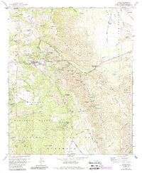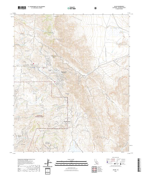
2021 Map of Julian
USGS Topo · Published 2021About this map
The town of Julian sits at the heart of this mountain landscape, surrounded by high peaks and deep canyons within the Cleveland National Forest. The map documents a residential pattern defined by small communities such as Whispering Pines, Kentwood-In-The-Pines, and Harrison Park, many of which developed along the winding grades of the Volcan Mountains and Cuyamaca Mountains. For genealogists and local historians, the Julian Pioneer Cem provides a specific point of interest near the town center.
Find a feature on this map
124 named features on this map. Tap any name to fly to it.
Don’t see what you’re looking for? This feature index may not catch every label — zoom into the map to look around manually.
Map Details
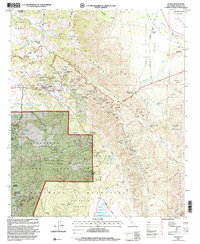
Editions of this 2021 Julian Map
This is the sole edition of this map. No revisions or reprints were ever made.
Historical Maps of Julian Through Time
3 maps found