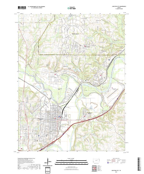
2022 Map of Junction City
USGS Topo · Published 2022About this map
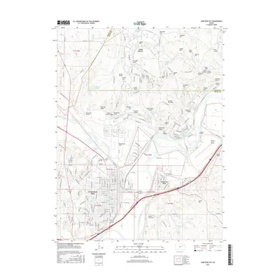
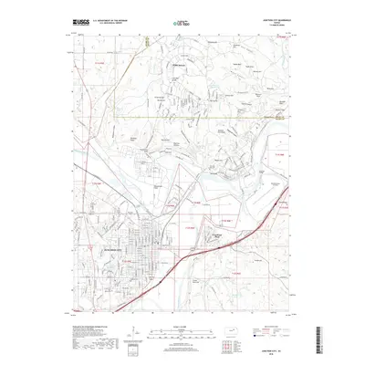
Junction City and the sprawling military reservation of Fort Riley dominate the landscape where the Republican River and Smoky Hill River converge to form the Kansas River. This 2022 survey illustrates the deep integration between the civilian community and the military installation, with residential developments like Sherman Heights and Grandview Plaza nestled against the rugged training grounds of the post. The topographic detail highlights the varied terrain of the region, from the flat expanses of Republican Flats and Pawnee Flats to the prominent heights of Custer Hill, Artillery Hill, and Machine Gun Ridge.
Find a feature on this map
145 named features on this map. Tap any name to fly to it.
Don’t see what you’re looking for? This feature index may not catch every label — zoom into the map to look around manually.
Map Details
Editions of this 2022 Junction City Map
This is the sole edition of this map. No revisions or reprints were ever made.
Historical Maps of Junction City Through Time
11 maps found

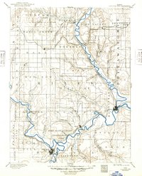
1886 Junction City
Geary County, KS

1889 Junction City
Geary County, KS
1894 Junction City
Geary County, KS
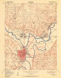
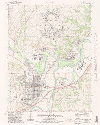
1950 Junction City
Geary County, KS
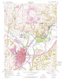
1955 Junction City
Geary County, KS
1982 Junction City
Geary County, KS

2009 Junction City
Geary County, KS
2012 Junction City
Geary County, KS
2016 Junction City
Geary County, KS
2018 Junction City
Geary County, KS
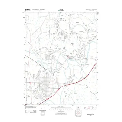
2022 Junction City
Geary County, KS