2024 Map of Junction City
USGS Topo · Published 2024About this map
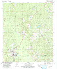
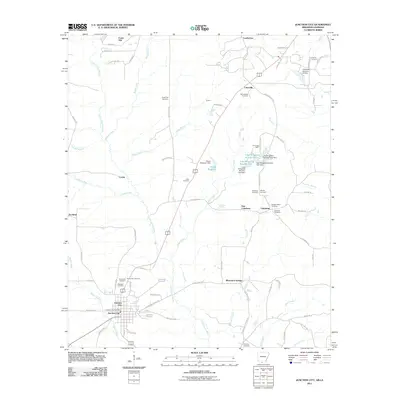
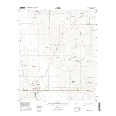
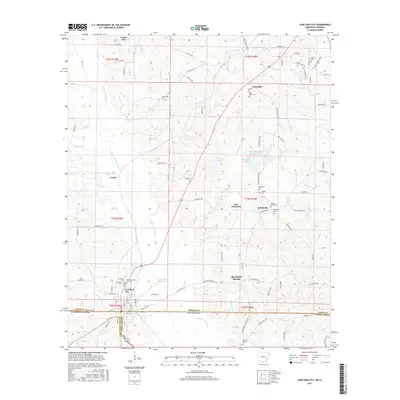
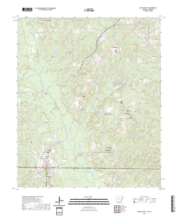
Junction City straddles the Arkansas Louisiana state line, serving as the primary hub in a landscape defined by timber and drainage basins. The town's grid is dense with local history, containing several burial grounds such as Community Cem, Graceland Cem, and Roselawn Cem within a small radius. The surrounding countryside is dotted with small rural communities like Caledonia, New Caledonia, and Catesville, each anchored by family cemeteries such as the Meek Family Cem and Morgan-Wade Cem.
Find a feature on this map
111 named features on this map. Tap any name to fly to it.
Don’t see what you’re looking for? This feature index may not catch every label — zoom into the map to look around manually.
Map Details
Editions of this 2024 Junction City Map
This is the sole edition of this map. No revisions or reprints were ever made.
Historical Maps of Junction City Through Time
6 maps found