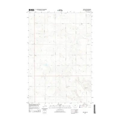
2014 Map of Jung Lake
USGS Topo · Published 2014About this map
Jung Lake and the surrounding high plains of Hettinger County are defined by a grid of section line roads and intermittent watercourses that drain toward the southeast. The landscape is punctuated by significant topographic rises, most notably Rainy Butte in the west and the Tepee Buttes in the southeast corner. These landmarks provided essential orientation for early settlers in an otherwise uniform prairie environment.
Find a feature on this map
24 named features on this map. Tap any name to fly to it.
Don’t see what you’re looking for? This feature index may not catch every label — zoom into the map to look around manually.
Map Details
Editions of this 2014 Jung Lake Map
This is the sole edition of this map. No revisions or reprints were ever made.
Other maps of this area

1953 · Dickinson
USGS Topo · 1:250,000

1957 · Dickinson
USGS Topo · 1:250,000

1973 · Liens Dams
USGS Topo · 1:24,000

1973 · Cedar Lake
USGS Topo · 1:24,000

1973 · Jung Lake
USGS Topo · 1:24,000

1973 · New England
USGS Topo · 1:24,000

1973 · Lefor SW
USGS Topo · 1:24,000

1973 · Havelock
USGS Topo · 1:24,000

1973 · East Rainy Butte
USGS Topo · 1:24,000

1973 · Enterprise School
USGS Topo · 1:24,000