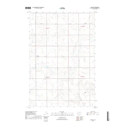
2018 Map of Jung Lake
USGS Topo · Published 2018About this map
Jung Lake sits at the heart of this Hettinger County landscape, characterized by the undulating terrain of the North Dakota plains. The survey highlights a rural infrastructure defined by a precise grid of sectional roads, including Havelock Rd and various numeric routes like 63 St SW and 112 Ave SW. These corridors connect isolated landmarks vital to the local community, such as the Havelock Cem in the north and the Rainy Butte Lutheran Cem to the west. The drainage patterns of the region are clearly delineated by the winding paths of Coal Bank Cr, Goose Cr, and Coon Cr. In the southeastern portion of the quadrangle, the Tepee Buttes rise above the surrounding flats near the headwaters of Tepee Cr, providing a distinct topographical break in an otherwise agricultural expanse.
Find a feature on this map
23 named features on this map. Tap any name to fly to it.
Don’t see what you’re looking for? This feature index may not catch every label — zoom into the map to look around manually.
Map Details
Editions of this 2018 Jung Lake Map
This is the sole edition of this map. No revisions or reprints were ever made.
Other maps of this area

1953 · Dickinson
USGS Topo · 1:250,000

1957 · Dickinson
USGS Topo · 1:250,000

1973 · Liens Dams
USGS Topo · 1:24,000

1973 · Cedar Lake
USGS Topo · 1:24,000

1973 · Jung Lake
USGS Topo · 1:24,000

1973 · New England
USGS Topo · 1:24,000

1973 · Lefor SW
USGS Topo · 1:24,000

1973 · Havelock
USGS Topo · 1:24,000

1973 · East Rainy Butte
USGS Topo · 1:24,000

1973 · Enterprise School
USGS Topo · 1:24,000