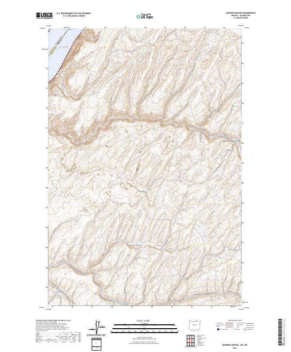
2024 Map of Juniper Canyon
USGS Topo · Published 2024About this map
The Mcnary National Wildlife Refuge occupies the northwestern corner of this landscape, where the waters of Lake Wallula border the boundary between Umatilla County, Oregon, and Benton County, Washington. This intersection of the Columbia River basin serves as a key geographical anchor for the surrounding high plateau, which is deeply incised by a complex system of drainage ways. To the south and east, the terrain is defined by the winding paths of Juniper Canyon and the North Fork Juniper Canyon, alongside the expansive Cold Springs Canyon and its many tributaries. Isolated water sources like Badger Spring and McCall Canyon offer clues to the historical hydrology of this arid region. The network of rural routes, including Wallula Rd and Holdman Rd, follows the natural contours of the land, providing access to the remote township and range sections that comprise this portion of the Pacific Northwest.
Find a feature on this map
19 named features on this map. Tap any name to fly to it.
Don’t see what you’re looking for? This feature index may not catch every label — zoom into the map to look around manually.
Map Details
Editions of this 2024 Juniper Canyon Map
This is the sole edition of this map. No revisions or reprints were ever made.
Other maps of this area

1908 · Umatilla
USGS Topo · 1:125,000

1915 · Wallulah
USGS Topo · 1:96,000

1917 · Pasco
USGS Topo · 1:125,000

1918 · Wallula
USGS Topo · 1:125,000

1935 · Pendleton
USGS Topo · 1:125,000

1953 · Pendleton
USGS Topo · 1:250,000

1953 · Walla Walla
USGS Topo · 1:250,000

1956 · Pendleton
USGS Topo · 1:250,000

1958 · Walla Walla
USGS Topo · 1:250,000

1962 · Juniper
USGS Topo · 1:24,000