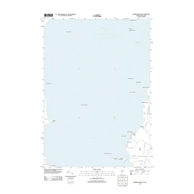
2012 Map of Juniper Island
USGS Topo · Published 2012About this map
Lake Champlain dominates this maritime survey, where a series of prominent islands and rocky shoals define the navigational landscape south of Burlington. The central presence of Juniper Island and the isolated monolith of Rock Dunder sit amidst hazardous underwater features like Schuyler Reef and Juniper Ledge. This era shows a well-established recreational and agricultural shoreline, particularly at Shelburne Point where Shelburne Farms Airport and a network of local roads such as Pheasant Hill Rd and Quakers Smith Point Rd provide access to the water.
Find a feature on this map
39 named features on this map. Tap any name to fly to it.
Don’t see what you’re looking for? This feature index may not catch every label — zoom into the map to look around manually.
Map Details
Editions of this 2012 Juniper Island Map
This is the sole edition of this map. No revisions or reprints were ever made.
Other maps of this area

1894 · Plattsburg
USGS Topo · 1:62,500

1895 · Willsboro
USGS Topo · 1:62,500

1906 · Plattsburg
USGS Topo · 1:62,500

1906 · Burlington
USGS Topo · 1:62,500

1913 · Milton
USGS Topo · 1:48,000

1915 · Milton
USGS Topo · 1:62,500

1919 · Burlington
USGS Topo · 1:62,500

1939 · Plattsburg
USGS Topo · 1:62,500

1941 · Plattsburg
USGS Topo · 1:62,500

1941 · Willsboro
USGS Topo · 1:62,500