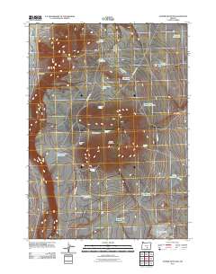
2011 Map of Juniper Mountain
USGS Topo · Published 2011About this map
Juniper Mountain and the high desert plateaus of Harney County dominate this landscape, characterized by the dramatic escarpments of Abert Rim and Rehart Rim. The map documents a remote region centered on livestock management and seasonal grazing, evidenced by outposts like Leehmann Cow Camp and Clark Cow Camp. Water management is the primary human imprint on this arid terrain, with a network of specialized catchment points such as Silver Dollar Waterhole, South Juniper Waterhole, and Browns Horse Corral Waterhole supporting the local ranching economy.
Find a feature on this map
30 named features on this map. Tap any name to fly to it.
Don’t see what you’re looking for? This feature index may not catch every label — zoom into the map to look around manually.
Map Details
Editions of this 2011 Juniper Mountain Map
This is the sole edition of this map. No revisions or reprints were ever made.
Other maps of this area

1955 · Crescent
USGS Topo · 1:250,000

1955 · Klamath Falls
USGS Topo · 1:250,000

1955 · Burns
USGS Topo · 1:250,000

1955 · Adel
USGS Topo · 1:250,000

1957 · Adel
USGS Topo · 1:250,000

1957 · Crescent
USGS Topo · 1:250,000

1958 · Crescent
USGS Topo · 1:250,000

1958 · Klamath Falls
USGS Topo · 1:250,000

1958 · Burns
USGS Topo · 1:250,000

1958 · Adel
USGS Topo · 1:250,000