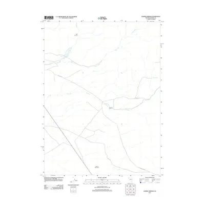
2011 Map of Juniper Springs
USGS Topo · Published 2011About this map
Lost Creek Ranch anchors this high-desert landscape in northwestern Nevada, situated where several intermittent drainages converge. The importance of water management in this arid environment is evident by the presence of the Lower Wall Canyon Reservoir in the northwest, which captures runoff from Wall Creek as it flows through Wall Canyon. The map records a series of vital water sources including Juniper Springs and Cherry Springs, which likely served as crucial landmarks for ranching operations and travel. Low-impact roads like Lost Creek Rd and Old Camp Canyon Rd navigate the terrain, skirting the base of Round Mountain. This area represents a typical Great Basin ranching footprint where human activity follows the seasonal flow of Cherry Creek and Lost Creek.
Find a feature on this map
11 named features on this map. Tap any name to fly to it.
Don’t see what you’re looking for? This feature index may not catch every label — zoom into the map to look around manually.
Map Details
Editions of this 2011 Juniper Springs Map
This is the sole edition of this map. No revisions or reprints were ever made.
Other maps of this area

1886 · Granite Range
USGS Topo · 1:250,000

1889 · Long Valley
USGS Topo · 1:250,000

1894 · Granite Range
USGS Topo · 1:250,000

1954 · Vya
USGS Topo · 1:250,000

1955 · Lovelock
USGS Topo · 1:250,000

1958 · Vya
USGS Topo · 1:250,000

1959 · Lovelock
USGS Topo · 1:250,000

1962 · Vya
USGS Topo · 1:250,000
1979 · Wall Canyon Reservoir
USGS Topo · 1:24,000
1979 · Duck Lake
USGS Topo · 1:24,000