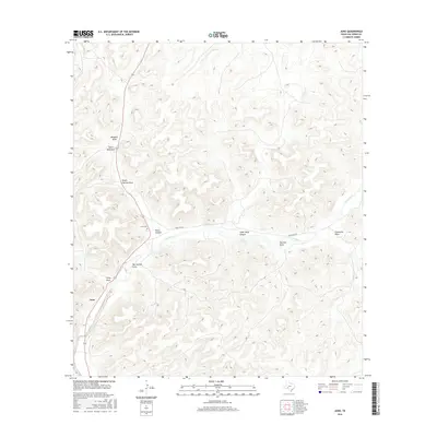
2016 Map of Juno
USGS Topo · Published 2016About this map
Juno anchors this map of western Val Verde County, sitting at the junction of 163 and Ranch Rd 189. The settlement is closely tied to the Devils River, which winds through the central terrain, flanked by significant geological features like Pecos Canyon and Cedar Bluff Canyon. The landscape is defined by a complex network of seasonal drainages, reflecting the arid nature of this Texas region. Local history and genealogy are highlighted by the presence of Juno Cemetery, located just north of the river crossing.
Find a feature on this map
14 named features on this map. Tap any name to fly to it.
Don’t see what you’re looking for? This feature index may not catch every label — zoom into the map to look around manually.
Map Details
Editions of this 2016 Juno Map
This is the sole edition of this map. No revisions or reprints were ever made.
Other maps of this area

1954 · Sonora
USGS Topo · 1:250,000

1958 · Sonora
USGS Topo · 1:250,000

1967 · Flat Rock Draw SW
USGS Topo · 1:24,000

1970 · Juno
USGS Topo · 1:24,000

1970 · Indian Draw
USGS Topo · 1:24,000

1970 · Sycamore Canyon
USGS Topo · 1:24,000

1970 · Bee Canyon
USGS Topo · 1:24,000

1970 · Brushy Draw
USGS Topo · 1:24,000

1970 · Deaton Draw
USGS Topo · 1:24,000

1973 · White Draw NW
USGS Topo · 1:24,000