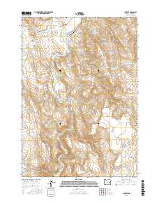
2017 Map of Juntura
USGS Topo · Published 2017About this map
The Malheur River winds through the high desert of Eastern Oregon, anchoring the settlement of Juntura. This landscape is defined by its sophisticated water management systems, including the Townsite Ditch and Allen Ditch, which support the Juntura Valley agriculture. The terrain shifts from the low-lying valley floor to prominent peaks like Meeker Mtn and the steep passage of Hodge Pass.
Find a feature on this map
59 named features on this map. Tap any name to fly to it.
Don’t see what you’re looking for? This feature index may not catch every label — zoom into the map to look around manually.
Map Details
Editions of this 2017 Juntura Map
This is the sole edition of this map. No revisions or reprints were ever made.
Other maps of this area
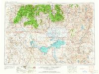
1955 · Burns
USGS Topo · 1:250,000
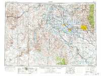
1955 · Boise
USGS Topo · 1:250,000
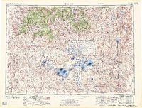
1958 · Burns
USGS Topo · 1:250,000
1958 · Boise
USGS Topo · 1:250,000
1959 · Burns
USGS Topo · 1:250,000
1962 · Boise
USGS Topo · 1:250,000
1966 · Westfall Butte
USGS Topo · 1:62,500
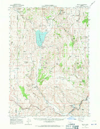
1966 · Beulah
USGS Topo · 1:62,500
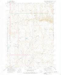
1972 · Shumway Reservoir
USGS Topo · 1:24,000
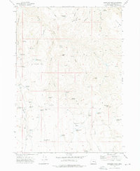
1972 · Monument Peak
USGS Topo · 1:24,000