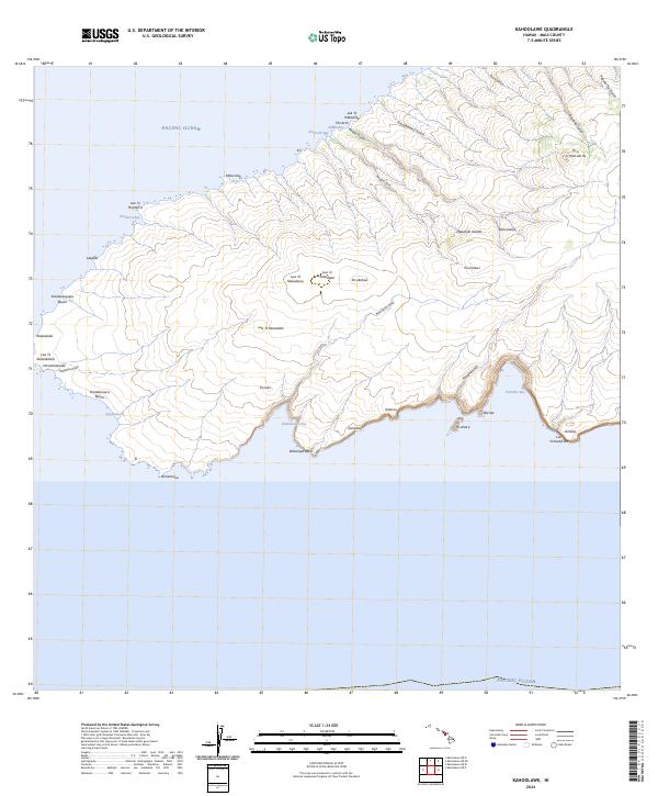
2024 Map of Kahoolawe
USGS Topo · Published 2024About this map
The uninhabited island of Kaho'olawe is mapped here in its modern state, showing a landscape defined by volcanic craters and deep coastal gulches. Dominating the interior are significant geological features such as Lua 'O Keaualuna, Lua 'O Keaualalo, and Lua 'O Keālialalo, which reflect the island's volcanic heritage. The coastline is punctuated by remote landing sites and points of interest, including Hanakanae'a Beach on the western shore and the deep indentation of Kamōhio Bay to the south. Numerous drainage systems like Kaukamoku Gulch and Waikahalulu Gulch radiate from the central high point at Pu'u O Moa'ula Iki, illustrating the erosion patterns across this protected landmass. This survey documents the preserved topography and traditional Hawaiian place names within the Hawaiian Islands chain, serving as a record of a site where human settlement is absent but geographic history is profoundly visible.
Find a feature on this map
44 named features on this map. Tap any name to fly to it.
Don’t see what you’re looking for? This feature index may not catch every label — zoom into the map to look around manually.
Map Details
Editions of this 2024 Kahoolawe Map
This is the sole edition of this map. No revisions or reprints were ever made.
Other maps of this area

1929 · Kahoolawe
USGS Topo · 1:62,500

1954 · Maui
USGS Topo · 1:250,000

1966 · Maui
USGS Topo · 1:250,000

1974 · Maui
USGS Topo · 1:250,000
1984 · Kahoolawe
USGS Topo · 1:25,000
1991 · Kahoolawe West
USGS Topo · 1:24,000
1991 · Kahoolawe East
USGS Topo · 1:24,000
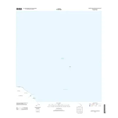
2013 · Kahoolawe OE NE
USGS Topo · 1:24,000
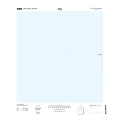
2013 · Kahoolawe OE W
USGS Topo · 1:24,000
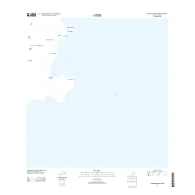
2013 · Kahoolawe OE E
USGS Topo · 1:24,000