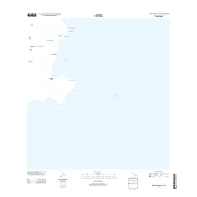
2013 Map of Kahoolawe OE E
USGS Topo · Published 2013About this map
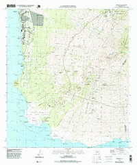
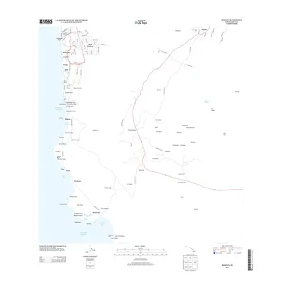
The eastern coast of Kaho'olawe faces the Pacific Ocean with a landscape defined by sharp elevation changes and deep drainage channels. This 2013 survey illustrates the dramatic topography of the island's interior heights, including Pu'u 'O Moa'ula Nui and Luamakika, which drop away toward the sea at Pali 'O Kalapakea. The shoreline is punctuated by prominent points and inlets, most notably the wide arc of Kanapou Bay and the coastal features of Lae 'O Hālona and Lae 'O Kākā. Numerous drainages like Big Gulch and Kaukamaka Gulch carve through the terrain, indicating the historical erosive patterns on this relatively arid island. The map preserves traditional Hawaiian place names for landmarks such as Kaluao Kamahoali'i and Hulākao, offering a precise record of the island's nomenclature and geography during the early 21st century.
Find a feature on this map
17 named features on this map. Tap any name to fly to it.
Don’t see what you’re looking for? This feature index may not catch every label — zoom into the map to look around manually.
Map Details
Editions of this 2013 Kahoolawe OE E Map
This is the sole edition of this map. No revisions or reprints were ever made.
Other maps of this area

1929 · Kahoolawe
USGS Topo · 1:62,500

1954 · Maui
USGS Topo · 1:250,000

1954 · Makena
USGS Topo · 1:24,000

1966 · Maui
USGS Topo · 1:250,000

1974 · Maui
USGS Topo · 1:250,000
1983 · Makena
USGS Topo · 1:24,000
1984 · Kahoolawe
USGS Topo · 1:25,000
1991 · Kahoolawe East
USGS Topo · 1:24,000
1995 · Makena
USGS Topo · 1:24,000
2013 · Makena
USGS Topo · 1:24,000