
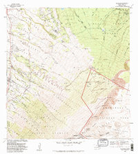
1954 Map of Makena
USGS Topo · Published 1956About this map
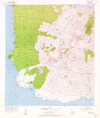
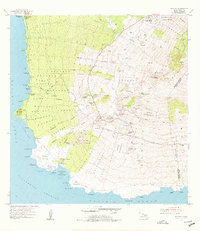
Ulupalakua Ranch sits high on the western slopes of Maui, serving as a primary hub of settlement above the rugged coastline. The landscape is a study in island topography, transitioning from the shores of Ahihi Bay and the cinder cone of Puu Olai up toward the high-elevation pastures and forests of Polipoli. Important social and community landmarks are scattered across the terrain, including Keawalai Church near the coast and the Ulupalakua School further inland. Evidence of the island's mid-century infrastructure and institutional history appears in the form of the Kula Sanatorium and the Kanaio Prison Camp. Navigational aids like the Hanamanioa Light and the Maui Radio Range Station reflect the area's importance to Pacific maritime and air traffic during the 1950s. The map also delineates several large ahupuaʻa land divisions, such as Keauhou and Papaanui, preserving traditional land management boundaries.
Find a feature on this map
77 named features on this map. Tap any name to fly to it.
Don’t see what you’re looking for? This feature index may not catch every label — zoom into the map to look around manually.
Map Details
Editions of this 1954 Makena Map
3 editions found
Other maps of this area

1954 · Maui
USGS Topo · 1:250,000

1954 · Maalaea
USGS Topo · 1:24,000

1954 · Puu O Kali
USGS Topo · 1:24,000

1957 · Kilohana
USGS Topo · 1:24,000

1957 · Lualailua Hills
USGS Topo · 1:24,000

1966 · Maui
USGS Topo · 1:250,000

1974 · Maui
USGS Topo · 1:250,000
1983 · Lualailua Hills
USGS Topo · 1:24,000
1983 · Maalaea
USGS Topo · 1:24,000
1983 · Kilohana
USGS Topo · 1:24,000