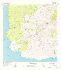
1954 Map of Makena
USGS Topo · Published 1978About this map
Ulupalakua Ranch sits as the central inland hub of this Maui landscape, which transitions from the high slopes of Haleakala down to the volcanic coastline. The map illustrates a mid-century agricultural and institutional pattern, featuring the Ulupalakua School and the Kula Sanatorium near the northern boundary. Along the coast, traditional landmarks like Keawala'i Church and the Maui Radio Range Station near Puu Olai stand before the heavy development of the modern resort era.
Find a feature on this map
91 named features on this map. Tap any name to fly to it.
Don’t see what you’re looking for? This feature index may not catch every label — zoom into the map to look around manually.
Map Details
Editions of this 1954 Makena Map
3 editions found
Other maps of this area

1954 · Maui
USGS Topo · 1:250,000

1954 · Maalaea
USGS Topo · 1:24,000

1954 · Puu O Kali
USGS Topo · 1:24,000

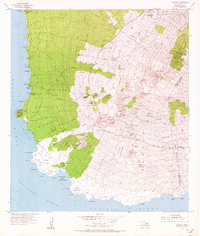
1954 · Makena
USGS Topo · 1:24,000

1957 · Kilohana
USGS Topo · 1:24,000

1957 · Lualailua Hills
USGS Topo · 1:24,000

1966 · Maui
USGS Topo · 1:250,000

1974 · Maui
USGS Topo · 1:250,000
1983 · Lualailua Hills
USGS Topo · 1:24,000
1983 · Maalaea
USGS Topo · 1:24,000