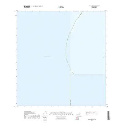
2017 Map of Kahoolawe OE W
USGS Topo · Published 2017About this map
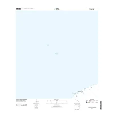
The Pacific Ocean dominates this maritime survey off the coast of the Hawaiian archipelago. Positioned within the western reaches of the Kahoolawe area, the sheet serves primarily as a hydrographic record of the open sea. A prominent boundary line for Maui Co Hawaii arcs through the water, representing the administrative jurisdictional limits within the central Pacific. While devoid of terrestrial landmarks or coastal features, the map provides precise geographic positioning for the surrounding waters of Maui County during the mid-2010s, illustrating the extent of local maritime boundaries far from the nearest shoreline.
Find a feature on this map
2 named features on this map. Tap any name to fly to it.
Don’t see what you’re looking for? This feature index may not catch every label — zoom into the map to look around manually.
Map Details
Editions of this 2017 Kahoolawe OE W Map
This is the sole edition of this map. No revisions or reprints were ever made.
Other maps of this area

1929 · Kahoolawe
USGS Topo · 1:62,500

1954 · Maui
USGS Topo · 1:250,000

1966 · Maui
USGS Topo · 1:250,000

1974 · Maui
USGS Topo · 1:250,000
1984 · Kahoolawe
USGS Topo · 1:25,000
1991 · Kahoolawe West
USGS Topo · 1:24,000
2013 · Kahoolawe OE W
USGS Topo · 1:24,000
2013 · Kahoolawe OE N
USGS Topo · 1:24,000
2013 · Kahoolawe
USGS Topo · 1:24,000
2017 · Kahoolawe
USGS Topo · 1:24,000