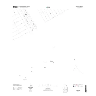
2013 Map of Kalalua
USGS Topo · Published 2013About this map
Eden Roc stands as the primary residential development in the northwestern corner of this territory on the Island of Hawai'i, characterized by a strictly organized grid of streets such as Ohia-Lani and Kaleponi Rd. This human settlement sits in sharp contrast to the volcanic activity defining the remainder of the landscape. The geography is dominated by the East Rift Zone, where the physical history of the land is recorded in the Lava Flow of 1963 and Lava Flow of 1965. Numerous cinder cones, or puʻu, dot the landscape, including Pu'u 'O'o, Puu Kahaualea, and Puu Halulu. This 2013 survey illustrates the intersection of mid-century residential expansion and the ongoing geological forces that shape the Puna district, providing a clear record of where infrastructure meets the path of volcanic history.
Find a feature on this map
59 named features on this map. Tap any name to fly to it.
Don’t see what you’re looking for? This feature index may not catch every label — zoom into the map to look around manually.
Map Details
Editions of this 2013 Kalalua Map
This is the sole edition of this map. No revisions or reprints were ever made.
Other maps of this area

1917 · Hilo
USGS Topo · 1:62,500

1922 · Puna
USGS Topo · 1:62,500

1924 · Makuu
USGS Topo · 1:62,500

1924 · Puna
USGS Topo · 1:62,500

1924 · Kalapana
USGS Topo · 1:62,500

1932 · Hilo
USGS Topo · 1:62,500

1954 · Hawaii South
USGS Topo · 1:250,000

1954 · Hawaii North
USGS Topo · 1:250,000

1959 · Hawaii South
USGS Topo · 1:250,000

1959 · Hawaii North
USGS Topo · 1:250,000