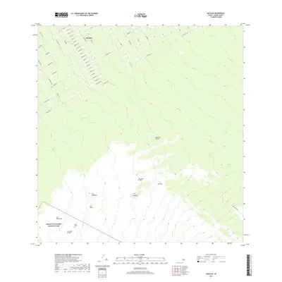
2017 Map of Kalalua
USGS Topo · Published 2017About this map
The residential subdivision of Eden Roc anchors the northern portion of this landscape, its grid of streets such as Malia Aina Rd and Punahele Ave contrasting with the volcanic terrain to the south. The southern reaches are defined by geothermal activity within Hawaiʻi Volcanoes National Park, where the literal reshaping of the land is documented through recent history.
Find a feature on this map
61 named features on this map. Tap any name to fly to it.
Don’t see what you’re looking for? This feature index may not catch every label — zoom into the map to look around manually.
Map Details
Editions of this 2017 Kalalua Map
This is the sole edition of this map. No revisions or reprints were ever made.
Other maps of this area

1917 · Hilo
USGS Topo · 1:62,500

1922 · Puna
USGS Topo · 1:62,500

1924 · Makuu
USGS Topo · 1:62,500

1924 · Puna
USGS Topo · 1:62,500

1924 · Kalapana
USGS Topo · 1:62,500

1932 · Hilo
USGS Topo · 1:62,500

1954 · Hawaii South
USGS Topo · 1:250,000

1954 · Hawaii North
USGS Topo · 1:250,000

1959 · Hawaii South
USGS Topo · 1:250,000

1959 · Hawaii North
USGS Topo · 1:250,000