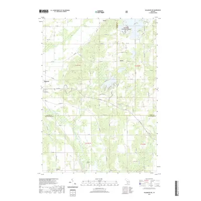
2019 Map of Kalamazoo NE
USGS Topo · Published 2019About this map
The Plainwell area and the transition from Allegan to Kalamazoo County are defined by the winding course of the Kalamazoo River and the northern reach of Spring Brook. This 2019 survey captures a landscape of established residential pockets and recreational landmarks, including the development surrounding Lake Doster and the nearby Country Club Blvd. The local cemetery records are well-represented here, with sites like Hillside Cem, Ives Cem, and the Gun Plains Township Cem offering critical touchpoints for genealogists. To the south, the settlement of Cooper sits near the small-scale aviation hub of Walker Airport, while the northern portion of the map includes a section of the Manistee National Forest and the smaller community of Doster. The mapping of small water bodies like Cook Lake and Silver Lake illustrates the dense drainage network that feeds into the major river systems of the region.
Find a feature on this map
95 named features on this map. Tap any name to fly to it.
Don’t see what you’re looking for? This feature index may not catch every label — zoom into the map to look around manually.
Map Details
Editions of this 2019 Kalamazoo NE Map
This is the sole edition of this map. No revisions or reprints were ever made.
Other maps of this area

1916 · Kalamazoo
USGS Topo · 1:62,500

1918 · Kalamazoo
USGS Topo · 1:62,500

1918 · Galesburg
USGS Topo · 1:62,500

1943 · Kalamazoo
USGS Topo · 1:62,500

1944 · Galesburg
USGS Topo · 1:62,500

1947 · Delton
USGS Topo · 1:24,000

1947 · Galesburg
USGS Topo · 1:24,000

1947 · Galesburg
USGS Topo · 1:62,500

1950 · Galesburg
USGS Topo · 1:62,500

1951 · Hastings
USGS Topo · 1:62,500