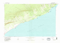
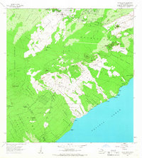
1981 Map of Kalapana
USGS Topo · Published 1981About this map
The coastal settlements of Kalapana and Kaimu are captured here in a period of relative stability before significant volcanic activity reshaped the Puna coast. This 1981 revision documents a landscape defined by both modern infrastructure and deep cultural history, with the Chain of Craters Road and Kalapana Trail providing access to the rugged Puna shoreline. The map records several vital cultural and geological landmarks, including the Wahaula Heiau, the Cave of Refuge, and the Queens Bath, alongside newer developments like Harry K Brown Park. Recent geologic history is evidenced by the Lava Flow of 1977, which cut through the Kupahua and Kalapana regions. For researchers and genealogists, the map provides precise locations for the Kupahua Homesteads and Kaimu-Makena Homesteads, as well as numerous coastal features like Hakuma Point and Petroglyphs near the Pali cliffs.
Find a feature on this map
54 named features on this map. Tap any name to fly to it.
Don’t see what you’re looking for? This feature index may not catch every label — zoom into the map to look around manually.
Map Details
Editions of this 1981 Kalapana Map
2 editions found
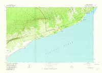
Other maps of this area

1922 · Puna
USGS Topo · 1:62,500

1924 · Puna
USGS Topo · 1:62,500

1924 · Kalapana
USGS Topo · 1:62,500

1954 · Hawaii South
USGS Topo · 1:250,000

1959 · Hawaii South
USGS Topo · 1:250,000

1961 · Hawaii South
USGS Topo · 1:250,000

1962 · Hawaii South
USGS Topo · 1:250,000
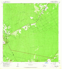
1963 · Volcano
USGS Topo · 1:24,000
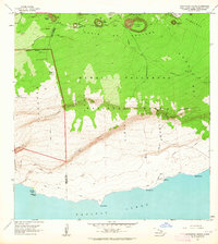
1963 · Makaopuhi Crater
USGS Topo · 1:24,000
1966 · Pahoa South
USGS Topo · 1:24,000