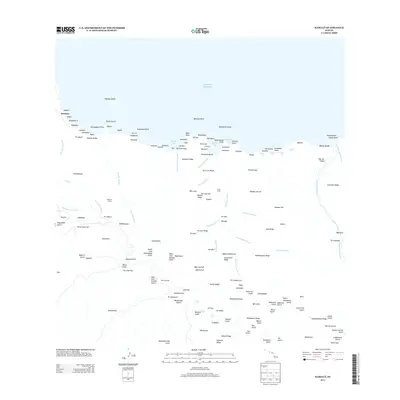
2013 Map of Kamalo
USGS Topo · Published 2013About this map
The settlement of Kalawao sits on the northern edge of this coastal landscape, an area characterized by deep gulches and significant elevation changes. This terrain is defined by a series of dramatic water features, including Waimanu Falls, Hina Falls, and the notable Kamalō Falls in the interior. Along the north shore, small settlements like Wainēnē and Pelekunu Beach provide evidence of human presence in a territory dominated by the Pacific Ocean and steep coastal points such as Leinaopapio Point.
Find a feature on this map
166 named features on this map. Tap any name to fly to it.
Don’t see what you’re looking for? This feature index may not catch every label — zoom into the map to look around manually.
Map Details
Editions of this 2013 Kamalo Map
This is the sole edition of this map. No revisions or reprints were ever made.
Other maps of this area

1952 · Halawa
USGS Topo · 1:24,000

1952 · Kamalo
USGS Topo · 1:24,000

1952 · Kaunakakai
USGS Topo · 1:24,000

1954 · Maui
USGS Topo · 1:250,000

1966 · Maui
USGS Topo · 1:250,000

1967 · Kaunakakai
USGS Topo · 1:24,000

1968 · Halawa
USGS Topo · 1:24,000
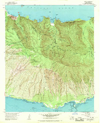
1968 · Kamalo
USGS Topo · 1:24,000

1974 · Maui
USGS Topo · 1:250,000
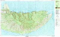
1983 · Molokai East
USGS Topo · 1:25,000