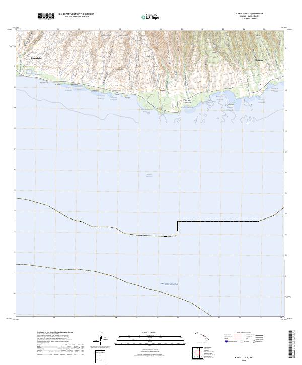
2024 Map of Kamalo OE S
USGS Topo · Published 2024About this map
The south-central coast of Moloka'i is defined by an intricate network of ancient Hawaiian aquaculture and dramatic topographic relief. A dense string of traditional fishponds, including Kakahai'a Fishpond and 'Ualapu'e Fishpond, lines the shoreline between the Kalohi Channel and the steep rising ridges of the interior. The landscape transitions quickly from the coastal flats of Kaunakakai and Ualapue to the sharp verticality of Helani Ridge and Ka'apahu Ridge.
Find a feature on this map
62 named features on this map. Tap any name to fly to it.
Don’t see what you’re looking for? This feature index may not catch every label — zoom into the map to look around manually.
Map Details
Editions of this 2024 Kamalo OE S Map
This is the sole edition of this map. No revisions or reprints were ever made.
Other maps of this area

1923 · Island of Lanai
USGS Topo · 1:31,680

1925 · Island of Lanai
USGS Topo · 1:62,500

1952 · Halawa
USGS Topo · 1:24,000

1952 · Kamalo
USGS Topo · 1:24,000

1952 · Kaunakakai
USGS Topo · 1:24,000

1954 · Maui
USGS Topo · 1:250,000

1966 · Maui
USGS Topo · 1:250,000

1967 · Kaunakakai
USGS Topo · 1:24,000

1968 · Halawa
USGS Topo · 1:24,000
1968 · Kamalo
USGS Topo · 1:24,000